


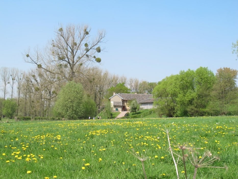
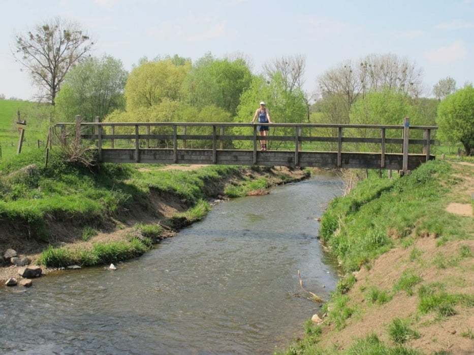
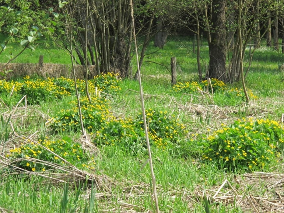
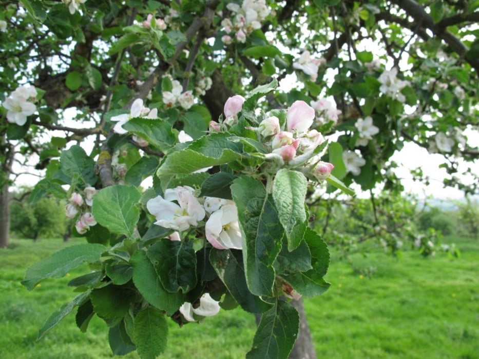
Die kurze Rundwanderung durch die limburgische Schweiz bei Epen bietet tolle Ausblicke in den Talkessel der Geul. Darüber hinaus sieht man sanfte Hügel, schöne Häuser und Blüten überall. Die Strecke entspricht weitgehend dem Artikel in den Aachener Nachrichten vom 21. April 2011. Der Weg ist markiert mit kniehohen Pfählen, die blau gestrichen sind.
Tour gallery
Tour map and elevation profile
Minimum height 117 m
Maximum height 217 m
More about the tour author
|
|
MaillotBlanc |
Comments
Von Aachen über die Vaalser Straße durch Vaals, Richtung Dreiländerpunkt, dann rechts ab Richtung Epen über die Epener Baan bis zum Parkplatz am Gartenrestaurant Buitenlust.
GPS tracks
Trackpoints-
GPX / Garmin Map Source (gpx) download
-
TCX / Garmin Training Center® (tcx) download
-
CRS / Garmin Training Center® (crs) download
-
Google Earth (kml) download
-
G7ToWin (g7t) download
-
TTQV (trk) download
-
Overlay (ovl) download
-
Fugawi (txt) download
-
Kompass (DAV) Track (tk) download
-
Track data sheet (pdf) download
-
Original file of the author (gpx) download
More about the tour author
|
|
MaillotBlanc |
Add to my favorites
Remove from my favorites
Edit tags
Open track
My score
Rate
Durch die limburgische Schweiz bei Epen
Kleiner Tipp:
Besser früh am Restaurant "Buitenlust" (Start/Ziel) ankommen, da der Parkplatz dort sehr schnell voll wird.