


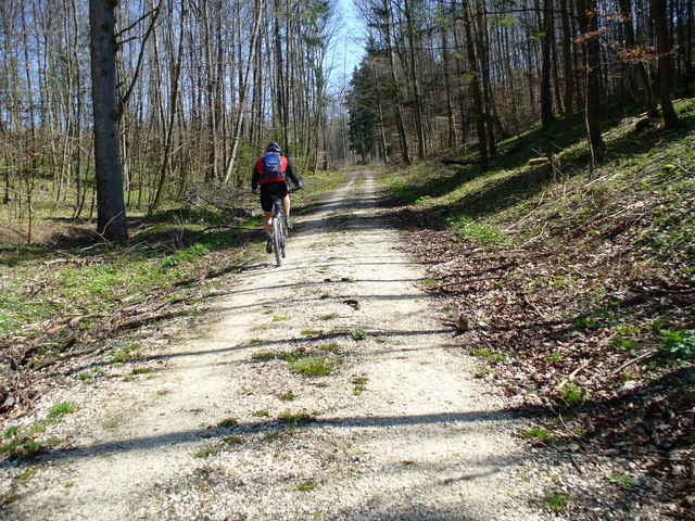
Die Tour führt durch das Lonetal von Langenau nach Amstetten, und über ein paar Hügel wieder zurück. Man fahrt überwiegend auf Forstwegen (teilweise geteert)Spätestens kurz vor Ende lädt in Börslingen (Ortsanfang) eine schöne Gartenwirtschaft zur Rast ein.
Tour gallery
Tour map and elevation profile
Minimum height 451 m
Maximum height 703 m
More about the tour author

|
Comments

Der Startpunkt ist ein Wanderparkplatz bei Langenau. Die Autobahn A7 bei der Ausfahrt Langenau verlassen. In Richtung Ulm/Nerenstetten weiterfahren (Industriegebiet, McDonalds). Gleich am Anfang des Waldes links auf den Wanderparkplatz einbiegen.
GPS tracks
Trackpoints-
GPX / Garmin Map Source (gpx) download
-
TCX / Garmin Training Center® (tcx) download
-
CRS / Garmin Training Center® (crs) download
-
Google Earth (kml) download
-
G7ToWin (g7t) download
-
TTQV (trk) download
-
Overlay (ovl) download
-
Fugawi (txt) download
-
Kompass (DAV) Track (tk) download
-
Track data sheet (pdf) download
-
Original file of the author (gpx) download
More about the tour author
|
|
Add to my favorites
Remove from my favorites
Edit tags
Open track
My score
Rate