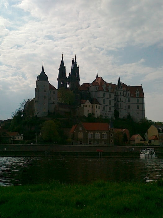
Die Tour ist am Wochenende nicht zu empfehlen, da sehr verkehrsreich.
Zwischen Forsthaus Kreyern und Moritzburg wird noch ordentlich gebaut und die Strasse ist aufgerissen (Stand 17.04.2011). Gerade nicht sehr rennradtauglich.
In Dippelsdorf links halten, da Weg gerade aus nicht zielführend ist.
Tour gallery
Tour map and elevation profile
Minimum height 87 m
Maximum height 238 m
Comments

GPS tracks
Trackpoints-
GPX / Garmin Map Source (gpx) download
-
TCX / Garmin Training Center® (tcx) download
-
CRS / Garmin Training Center® (crs) download
-
Google Earth (kml) download
-
G7ToWin (g7t) download
-
TTQV (trk) download
-
Overlay (ovl) download
-
Fugawi (txt) download
-
Kompass (DAV) Track (tk) download
-
Track data sheet (pdf) download
-
Original file of the author (gpx) download
Add to my favorites
Remove from my favorites
Edit tags
Open track
My score
Rate


