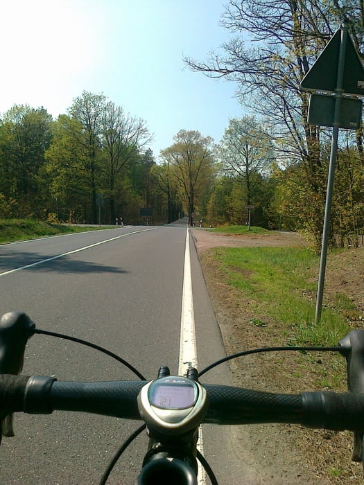
In Thammenhain Richtung Kobershain halten.
In Belgern bis zur Elbfähre heftiges Pflaster. Rennlenker gut festhalten!
In Weidenhain einfach auf der Hauptstrasse bleiben. Die Schleife NICHT nachfahren, da Sandboden und der Tour nicht dienlich!
Tour gallery
Tour map and elevation profile
Minimum height 74 m
Maximum height 204 m
Comments

GPS tracks
Trackpoints-
GPX / Garmin Map Source (gpx) download
-
TCX / Garmin Training Center® (tcx) download
-
CRS / Garmin Training Center® (crs) download
-
Google Earth (kml) download
-
G7ToWin (g7t) download
-
TTQV (trk) download
-
Overlay (ovl) download
-
Fugawi (txt) download
-
Kompass (DAV) Track (tk) download
-
Track data sheet (pdf) download
-
Original file of the author (gpx) download
Add to my favorites
Remove from my favorites
Edit tags
Open track
My score
Rate


