Login

Forgotten password?

Cookies have to be accepted!
Your browser's cookie functionality is disabled. Please enable this functionality.

Not a member yet?

Register now
Login

Available for registred users only

Log in to use this feature.

Forgotten password?

Cookies have to be accepted!
Your browser's cookie functionality is disabled. Please enable this functionality.

Not a member yet?

Register now
Filter
Categories
Advanced filters
  • Distance (km)
  • Height
Save filters Reset filter

TrackRank

QRCode

Technical data

Distance45,9 km Height917 m Way down915 m Duration03:00 h:m Date25.04.2011
Scores Author User Landscape Fun factor Fitness Technique

Statistics

1420 Views 4 Scores 237 Downloads 4.25 Average
Rate
  • Track data sheet
  • Directions
  • Downloads

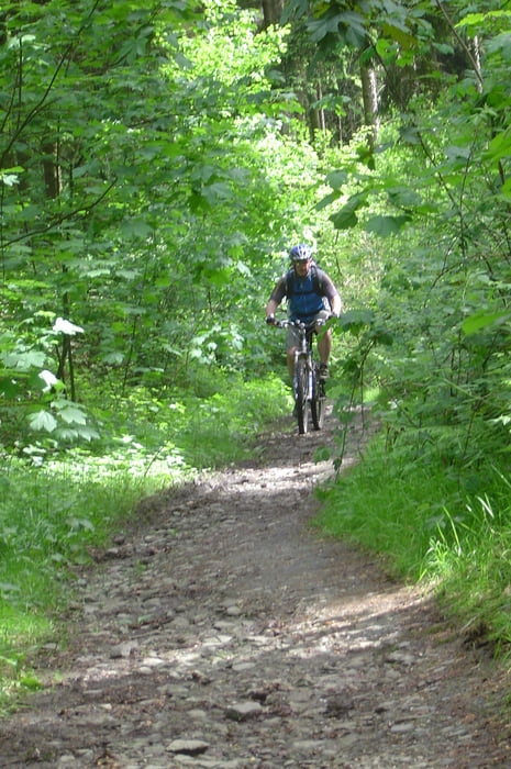
Anspruchsvolle Bike-Runde mit kniffeligen Auf u. Abfahrten durch den Schellenberger Wald und Umgebung.Eine gute Fahrtechnik und Kondition bei den knackigen Trails solltet Ihr schon haben !!!
Start ist an der Kreuzung Wuppertaler-Frankenstr. PS.Ein Paar Trails sind wir doppelt gefahren (hin u.zurück).

Viel Spaß im Wald !!!!!
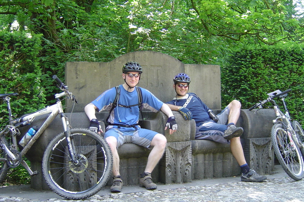
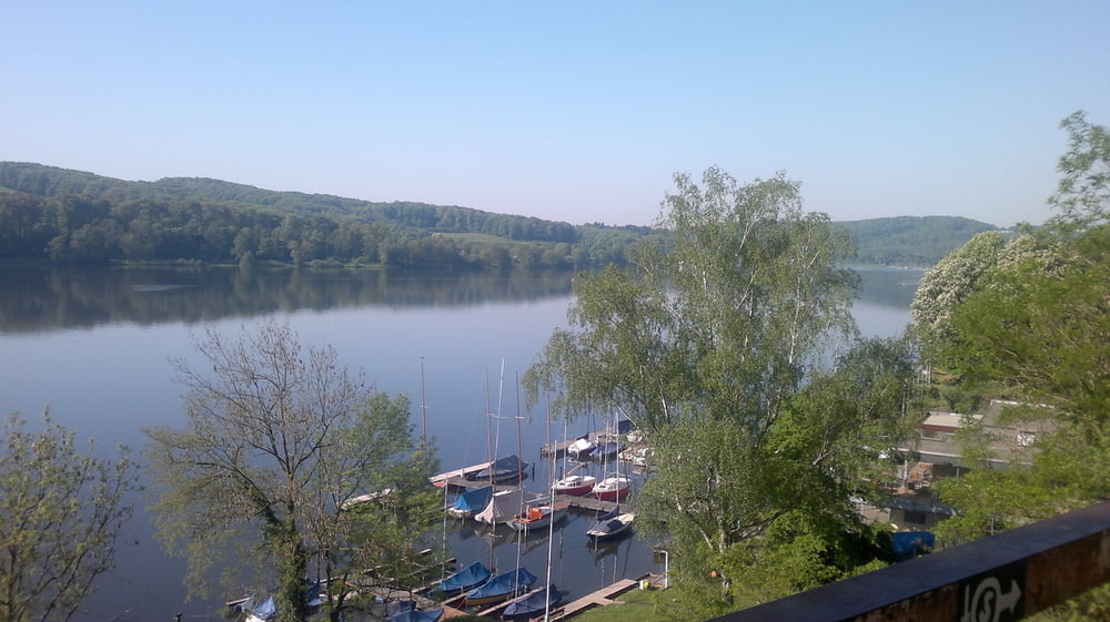
Tour gallery

Tour map and elevation profile

  • Open Street Map
  • Google
Minimum height 56 m Maximum height 176 m Detailed view

More about the tour author

martinhoerne
Member since 2008

Send private message

Comments

much2dirty on 20.08.2011

Singletrails ohne Ende ;)

Sehr geile Tour, waren alle sehr begeistert
schratze on 21.09.2011

Das war gut!

Schöne und anstrengende Tour. Bin sie im Uhrzeigersinn gefahren. Im Schellenberger Wald hätte man auf den für Mountainbiker präparierten Trails wohl noch die eine oder andere Schleife fahren können.
lostiniceland on 27.04.2012

Klasse!

Bin erst vor kurzen nach Essen gezogen und jetzt kenne ich direkt einige der schönsten Trails.

GPS tracks

Trackpoints
  • GPX / Garmin Map Source (gpx) download
  • TCX / Garmin Training Center® (tcx) download
  • CRS / Garmin Training Center® (crs) download
  • Google Earth (kml) download
  • G7ToWin (g7t) download
  • TTQV (trk) download
  • Overlay (ovl) download
  • Fugawi (txt) download
  • Kompass (DAV) Track (tk) download
  • Track data sheet (pdf) download
  • Original file of the author (tcx) download

More about the tour author

martinhoerne
Member since 2008

Send private message
Share track
Add to my favorites
Remove from my favorites
Edit tags
My score
Rate
Track: Heiko`s Trail-Runde
Type: Mountain bike
Distance: 45,9 km
Evaluated on:
Duration:
Day(s)
Hour(s)
Minute(s)
Score: Landscape Fun factor Fitness Technique