


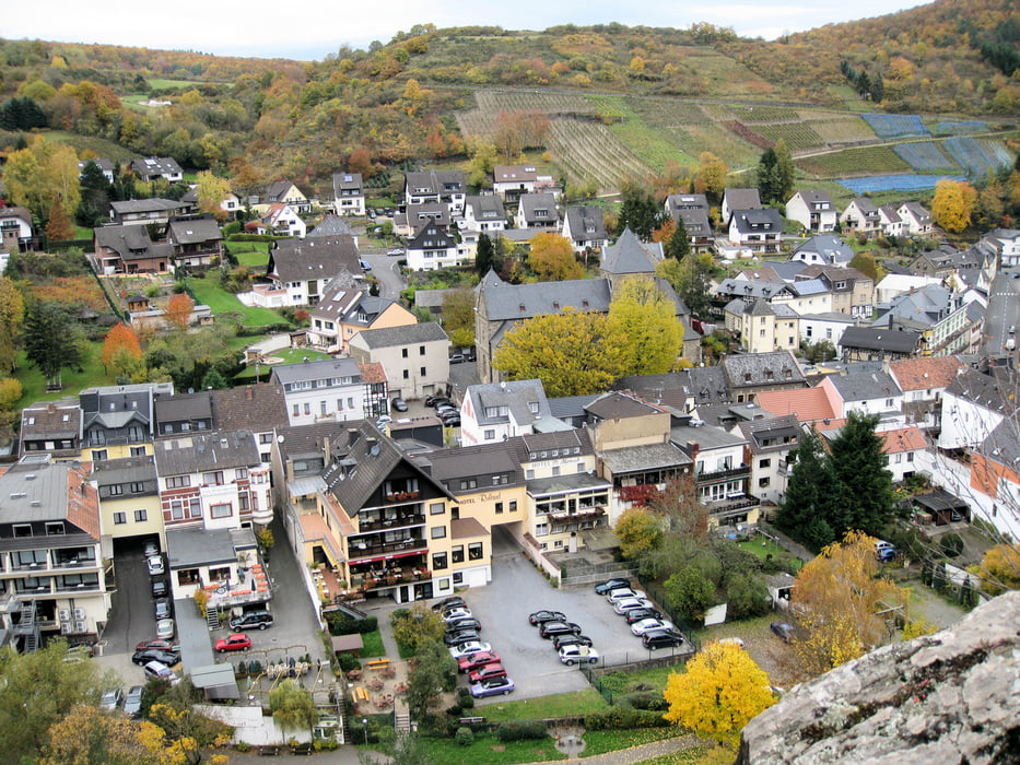
Tour rechts der Ahr
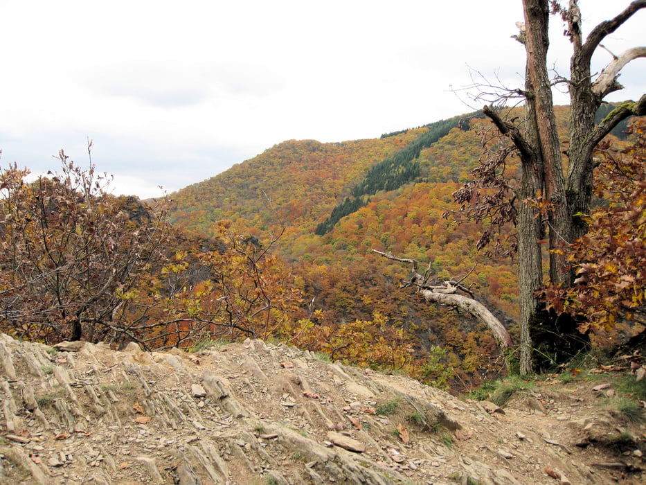
Die Tour startet in Altenahr. Beim Bahnhof überquert man die Ahr und folgt den Wanderwegen in den Wald.
Es ist eine sehr schöne, nicht allzu anstrengende Tour. Die Wege sind sehr gut ausgeschildert. Man entkommt auf dieser Tour den Touristenströmen, die sich über den Rotweinwanderweg schieben. Sollte man mehrere Tage im Ahrtal verbringen, empfiehlt sich diese Tour als Ausgleichstour zur klassischen Rotweinwanderung.
Achtung: Es gibt keine Einkehrmöglichkeiten - also genug Getränke und Verpflegung mitnehmen.
Tour gallery

Tour map and elevation profile
Minimum height 94 m
Maximum height 460 m
More about the tour author
|
|
MYSTERIOUSXL |
Comments

Anfahrt über die A61, Abfahrt Kreuz Meckenheim auf die B257.
Parkplätze befinden sich in Altenahr in der nähe des Bahnhofes und am Ortsausgang/eingang in ausreichender Zahl
GPS tracks
Trackpoints-
GPX / Garmin Map Source (gpx) download
-
TCX / Garmin Training Center® (tcx) download
-
CRS / Garmin Training Center® (crs) download
-
Google Earth (kml) download
-
G7ToWin (g7t) download
-
TTQV (trk) download
-
Overlay (ovl) download
-
Fugawi (txt) download
-
Kompass (DAV) Track (tk) download
-
Track data sheet (pdf) download
-
Original file of the author (gpx) download
More about the tour author
|
|
MYSTERIOUSXL |
Add to my favorites
Remove from my favorites
Edit tags
Open track
My score
Rate