Login

Forgotten password?

Cookies have to be accepted!
Your browser's cookie functionality is disabled. Please enable this functionality.

Not a member yet?

Register now
Login

Available for registred users only

Log in to use this feature.

Forgotten password?

Cookies have to be accepted!
Your browser's cookie functionality is disabled. Please enable this functionality.

Not a member yet?

Register now
Filter
Categories
Advanced filters
  • Distance (km)
  • Height
Save filters Reset filter

TrackRank

QRCode

Technical data

Distance34,3 km Height544 m Way down541 m Duration03:00 h:m Date27.04.2011
Scores Author User Landscape Fun factor Fitness Technique

Statistics

2289 Views 6 Scores 424 Downloads 3.83 Average
Rate
  • Track data sheet
  • Directions
  • Downloads

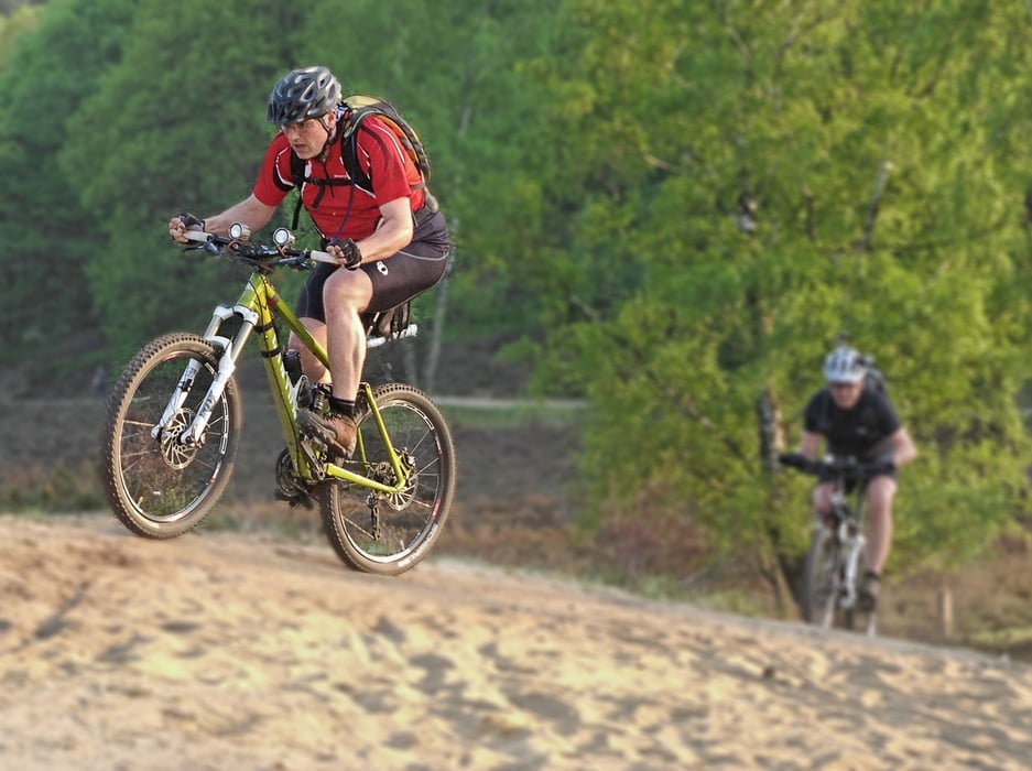
Kärtner Hütte - Reiherberg - Autobahntrail - Haake - Förstersrache Trail - Neugrabener Heide - Fischbeker Heide - X-Trail - Panzertrail - Fischbektal - Tempelberg Downhill - Wildpark - Stoof Mudders Krog - Haake

Ab 17 Uhr kommt man kostenlos in das Museum Kiekeberg und kann dort die klasse Küche und das Bioweißbier im Stoof Mudders Krog genießen!

Further information at

http://www.hegibiketours.de/

Tour gallery

Tour map and elevation profile

  • Open Street Map
  • Google
Minimum height 10 m Maximum height 98 m Detailed view

More about the tour author

hegi
Member since 2007

Send private message

Comments

yoonbong on 26.05.2011

hallow

I live in heimfeld.
I want to join your traking area & mtb course.
I have been south korea last week
I'm firtst visit hamburg
I I have a friend who would like to know mtb.
tel: 160 9148 9448
BenniundChre on 06.10.2013

Abwechslungsreich

Super abwechslungsreiche Tour! Für uns Kieler ist es hier doch schon sehr "bergig"! Daher auch Neuland für uns. Eine tolle Tour die viele unterschiedliche "Wege" hat. Flowiger Singletrail, Wurzelpassagen oder einfach nur schöne, einfache Wege. Hat uns doch schon ganz ordentlich gefordert!
Start am Parkplatz der Kärtner Hütte! Diese liegt an der Cuxhavener Straße auf der linke Seite wenn man von der A7 Abfahrt Heimfeld kommt!

GPS tracks

Trackpoints
  • GPX / Garmin Map Source (gpx) download
  • TCX / Garmin Training Center® (tcx) download
  • CRS / Garmin Training Center® (crs) download
  • Google Earth (kml) download
  • G7ToWin (g7t) download
  • TTQV (trk) download
  • Overlay (ovl) download
  • Fugawi (txt) download
  • Kompass (DAV) Track (tk) download
  • Track data sheet (pdf) download
  • Original file of the author (gpx) download

More about the tour author

hegi
Member since 2007

Send private message
Share track
Add to my favorites
Remove from my favorites
Edit tags
My score
Rate
Track: Genuß auf den Panzertrails
Type: Mountain bike
Distance: 34,3 km
Evaluated on:
Duration:
Day(s)
Hour(s)
Minute(s)
Score: Landscape Fun factor Fitness Technique