
)")

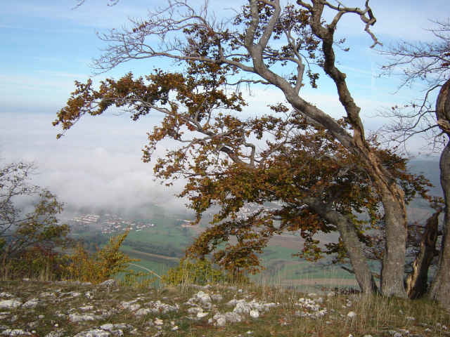
Auch der 2.Tag ist landschaftlich super reizvoll, da die Kombination Singletrail und Aussicht voll zum Tragen kommt. Wenn ihr denkt atemberaubende Trails gibt es nur in den Alpen, dann wird euch die 2.Etappe überzeugen, dass das Gute sehr nahe liegt.
Technisch geht es von Meßstetten bis nach Spaichingen richtig zur Sache. Nichts für Einsteiger, aber eine Droge für jeden ambitionierten MTB'ler.
Technisch geht es von Meßstetten bis nach Spaichingen richtig zur Sache. Nichts für Einsteiger, aber eine Droge für jeden ambitionierten MTB'ler.
Further information at
http://manager-abenteuer.deTour gallery
Tour map and elevation profile
Minimum height 637 m
Maximum height 1082 m
More about the tour author

|
Lionheart |
Comments
Start in Stetten a.k.M.
GPS tracks
Trackpoints-
GPX / Garmin Map Source (gpx) download
-
TCX / Garmin Training Center® (tcx) download
-
CRS / Garmin Training Center® (crs) download
-
Google Earth (kml) download
-
G7ToWin (g7t) download
-
TTQV (trk) download
-
Overlay (ovl) download
-
Fugawi (txt) download
-
Kompass (DAV) Track (tk) download
-
Track data sheet (pdf) download
-
Original file of the author (gpx) download
More about the tour author
|
|
Lionheart |
Add to my favorites
Remove from my favorites
Edit tags
Open track
My score
Rate
max. Höhe