Login

Forgotten password?

Cookies have to be accepted!
Your browser's cookie functionality is disabled. Please enable this functionality.

Not a member yet?

Register now
Login

Available for registred users only

Log in to use this feature.

Forgotten password?

Cookies have to be accepted!
Your browser's cookie functionality is disabled. Please enable this functionality.

Not a member yet?

Register now
Filter
Categories
Advanced filters
  • Distance (km)
  • Height
Save filters Reset filter

TrackRank

QRCode

Technical data

Distance44,7 km Height594 m Way down455 m Duration3 days 0 h Date29.04.2011
Scores Author Landscape Fun factor Fitness Technique

Statistics

515 Views Scores 34 Downloads Average
Rate
  • Track data sheet
  • Directions
  • Downloads
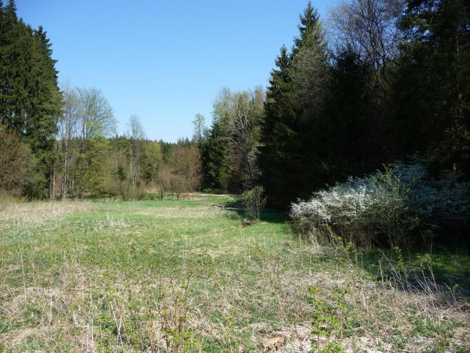
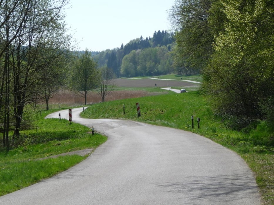
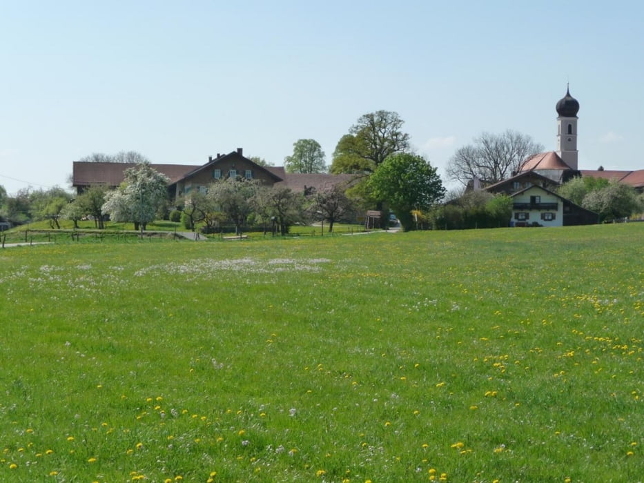
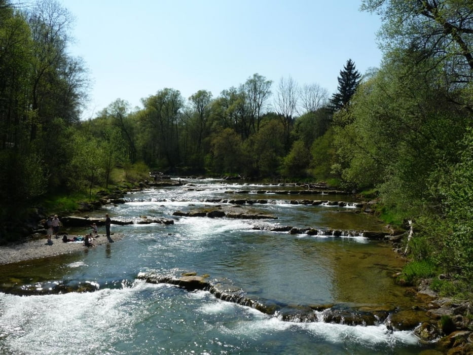
Meist auf guten Wirtschaftswegen oder wenig befahrenen Straßen abseits des großen Verkehrs, nur 1x auf einer Straße ohne Radweg, an den Schönheiten der Natur vorbei.

Tour gallery

Tour map and elevation profile

  • Open Street Map
  • Google
Minimum height 516 m Maximum height 683 m Detailed view

More about the tour author

feisen
Member since 2008

Send private message

Comments

Am Besten mit dem Zug oder der S-Bahn

GPS tracks

Trackpoints
  • GPX / Garmin Map Source (gpx) download
  • TCX / Garmin Training Center® (tcx) download
  • CRS / Garmin Training Center® (crs) download
  • Google Earth (kml) download
  • G7ToWin (g7t) download
  • TTQV (trk) download
  • Overlay (ovl) download
  • Fugawi (txt) download
  • Kompass (DAV) Track (tk) download
  • Track data sheet (pdf) download
  • Original file of the author (gpx) download

More about the tour author

feisen
Member since 2008

Send private message
Share track
Add to my favorites
Remove from my favorites
Edit tags
My score
Rate
Track: Grafing Bhf - Holzkirchen meist abseits großer Wege
Type: Bicycle tours
Distance: 44,7 km
Evaluated on:
Duration:
Day(s)
Hour(s)
Minute(s)
Score: Landscape Fun factor Fitness Technique