Login

Forgotten password?

Cookies have to be accepted!
Your browser's cookie functionality is disabled. Please enable this functionality.

Not a member yet?

Register now
Login

Available for registred users only

Log in to use this feature.

Forgotten password?

Cookies have to be accepted!
Your browser's cookie functionality is disabled. Please enable this functionality.

Not a member yet?

Register now
Filter
Categories
Advanced filters
  • Distance (km)
  • Height
Save filters Reset filter

TrackRank

QRCode

Technical data

Distance128,0 km Height886 m Way down781 m Duration00:00 h:m Date29.04.2011
Scores Author Landscape Fun factor Fitness Technique

Statistics

391 Views Scores 44 Downloads Average
Rate
  • Track data sheet
  • Directions
  • Downloads
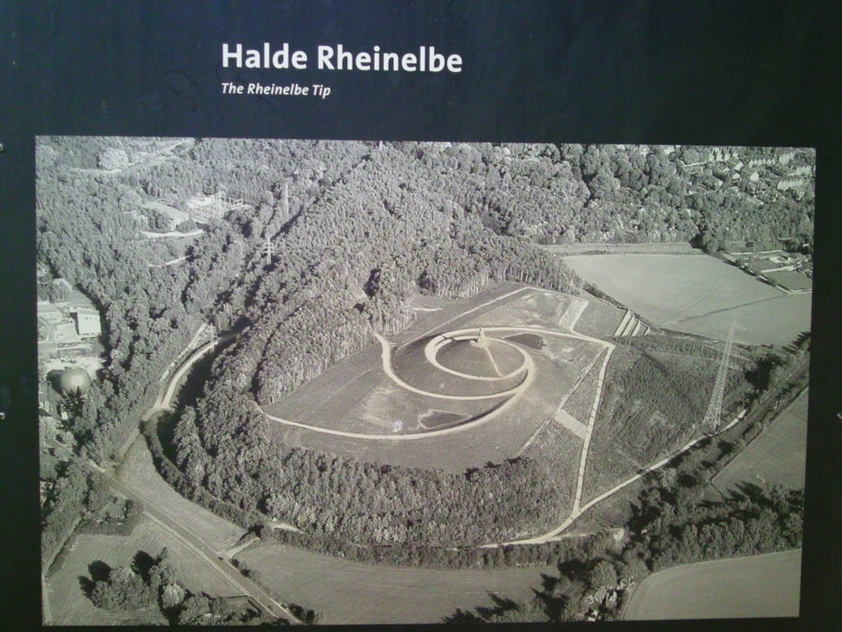
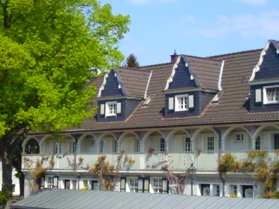
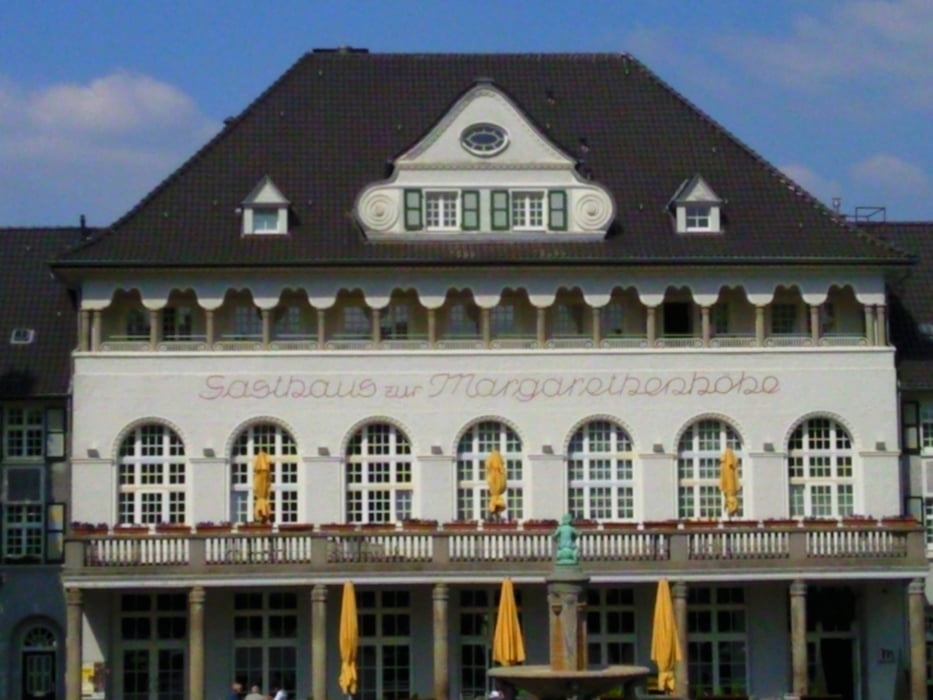
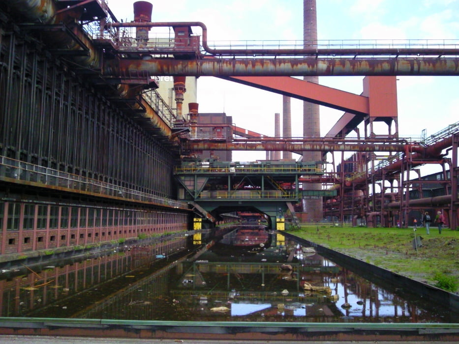
Die Tour führt über den "Rheinischen Esel" nach Witten und Bochum. Von der Jahrhunderthalle in Bochum ausgehend wird der Erzbahnradweg genutzt. Die Krupp-Siedlung "Margarethenhöhe" und die "Zeche Zollverein" bilden die Höhepunkte der Radtour. Zurück nach Dortmund geht es überwiegend über den Emscherradweg. Am Wegesrand gibt es zahlreiche Einkehrmöglichkeiten. Insgesamt ein schönes Stück des Ruhrgebiets.  

Tour gallery

Tour map and elevation profile

  • Open Street Map
  • Google
Minimum height 31 m Maximum height 146 m Detailed view

More about the tour author

radonralf
Member since 2008

Send private message

Comments

GPS tracks

Trackpoints
  • GPX / Garmin Map Source (gpx) download
  • TCX / Garmin Training Center® (tcx) download
  • CRS / Garmin Training Center® (crs) download
  • Google Earth (kml) download
  • G7ToWin (g7t) download
  • TTQV (trk) download
  • Overlay (ovl) download
  • Fugawi (txt) download
  • Kompass (DAV) Track (tk) download
  • Track data sheet (pdf) download
  • Original file of the author (gpx) download

More about the tour author

radonralf
Member since 2008

Send private message
Share track
Add to my favorites
Remove from my favorites
Edit tags
My score
Rate
Track: Dortmund - Bochum - Essen - Dortmund
Type: Trekkingbike
Distance: 128,0 km
Evaluated on:
Duration:
Day(s)
Hour(s)
Minute(s)
Score: Landscape Fun factor Fitness Technique