Login

Forgotten password?

Cookies have to be accepted!
Your browser's cookie functionality is disabled. Please enable this functionality.

Not a member yet?

Register now
Login

Available for registred users only

Log in to use this feature.

Forgotten password?

Cookies have to be accepted!
Your browser's cookie functionality is disabled. Please enable this functionality.

Not a member yet?

Register now
Filter
Categories
Advanced filters
  • Distance (km)
  • Height
Save filters Reset filter

TrackRank

QRCode

Technical data

Distance40,3 km Height1304 m Way down1311 m Duration03:10 h:m Date03.05.2011
Scores Author Landscape Fun factor Fitness Technique

Statistics

452 Views 1 Score 50 Downloads 5.00 Average
Rate
  • Track data sheet
  • Directions
  • Downloads


Es geht von Gomaringen (INJOY)  auf Umwegen hoch zum Roßberg.

Auf einem Trail geht´s ab nach Gönningen.

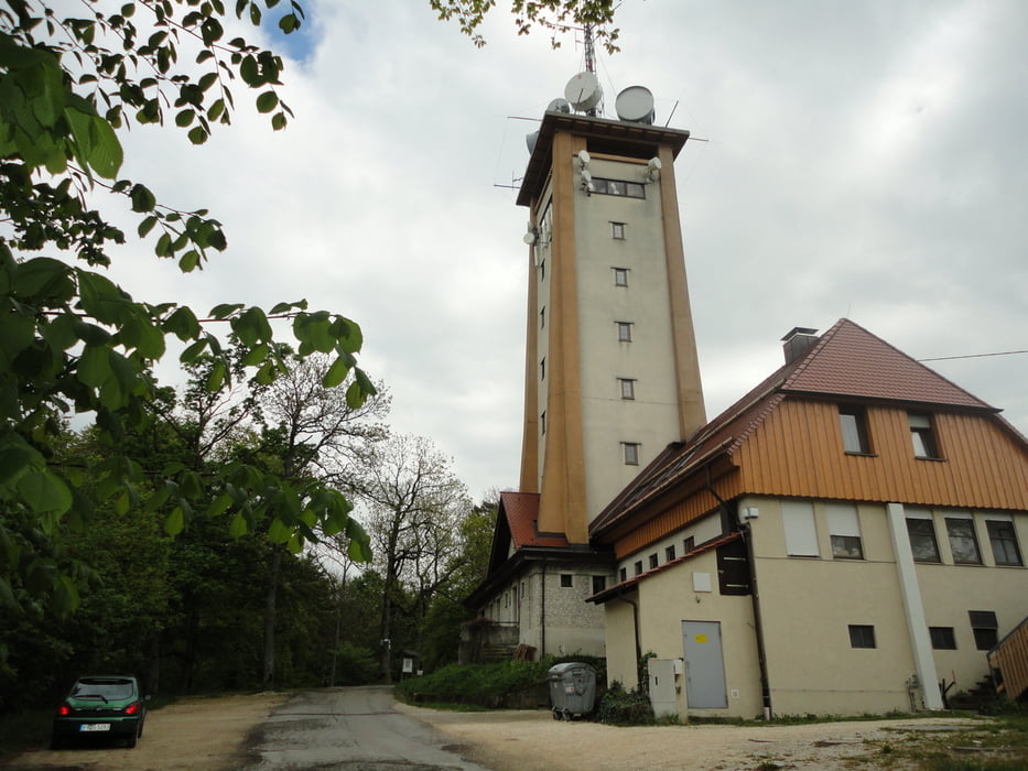
Von Gönningen aus hoch zur alte Burg (Käpfle).

Von dort aus auf Schotterwegen richtung Gomaringen.

Tour gallery

Tour map and elevation profile

  • Open Street Map
  • Google
Minimum height 419 m Maximum height 880 m Detailed view

More about the tour author

ubikefun
Member since 2010

Send private message

Comments

GPS tracks

Trackpoints
  • GPX / Garmin Map Source (gpx) download
  • TCX / Garmin Training Center® (tcx) download
  • CRS / Garmin Training Center® (crs) download
  • Google Earth (kml) download
  • G7ToWin (g7t) download
  • TTQV (trk) download
  • Overlay (ovl) download
  • Fugawi (txt) download
  • Kompass (DAV) Track (tk) download
  • Track data sheet (pdf) download
  • Original file of the author (tcx) download

More about the tour author

ubikefun
Member since 2010

Send private message
Share track
Add to my favorites
Remove from my favorites
Edit tags
My score
Rate
Track: Gomaringen rund um den Roßberg Tour 4
Type: Mountain bike
Distance: 40,3 km
Evaluated on:
Duration:
Day(s)
Hour(s)
Minute(s)
Score: Landscape Fun factor Fitness Technique