Trans Alp Tag 1 von 5
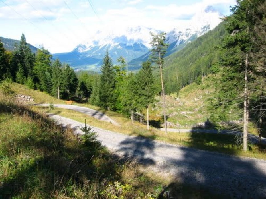
Von Erwald über den Fernpass entlang des Inns richtung schweizer Grenze.
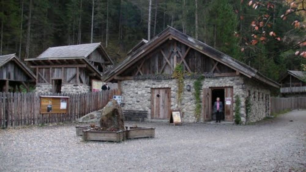
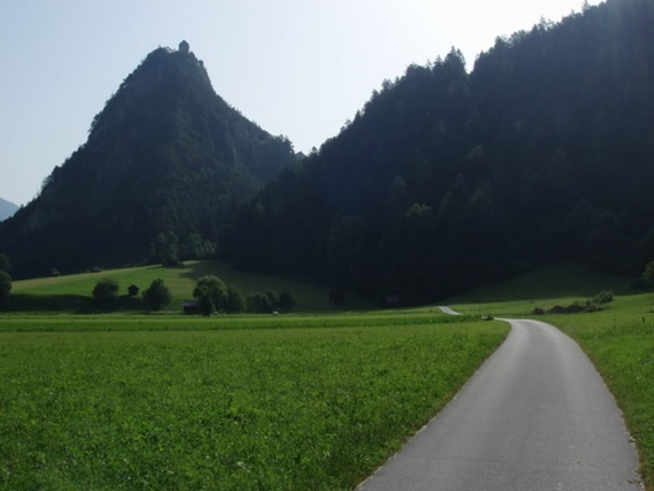
Eine eher einfacher erster Tag durch das Landschaftlich schöne Tirol. Auf der Stecke gib es eine Vielzahl von Rastmöglichkeiten.
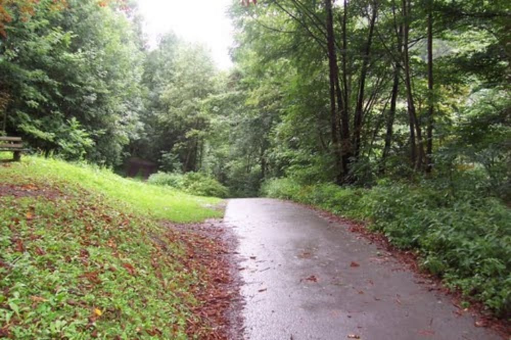
Die Wege sind geteert oder Schotter.
Tour gallery
Tour map and elevation profile
Minimum height 711 m
Maximum height 1274 m
Comments

Mit der Bahn bis Garmisch, dort umsteigen in die Bahn zum Erwalder Bahnhof. Von München fährt aktuell ein Zug nach Garmisch um 06:30. Mit umsteigen kann der Teil der Tour zwischen 9:00-9:30 starten
GPS tracks
Trackpoints-
GPX / Garmin Map Source (gpx) download
-
TCX / Garmin Training Center® (tcx) download
-
CRS / Garmin Training Center® (crs) download
-
Google Earth (kml) download
-
G7ToWin (g7t) download
-
TTQV (trk) download
-
Overlay (ovl) download
-
Fugawi (txt) download
-
Kompass (DAV) Track (tk) download
-
Track data sheet (pdf) download
-
Original file of the author (gpx) download
Add to my favorites
Remove from my favorites
Edit tags
Open track
My score
Rate


