


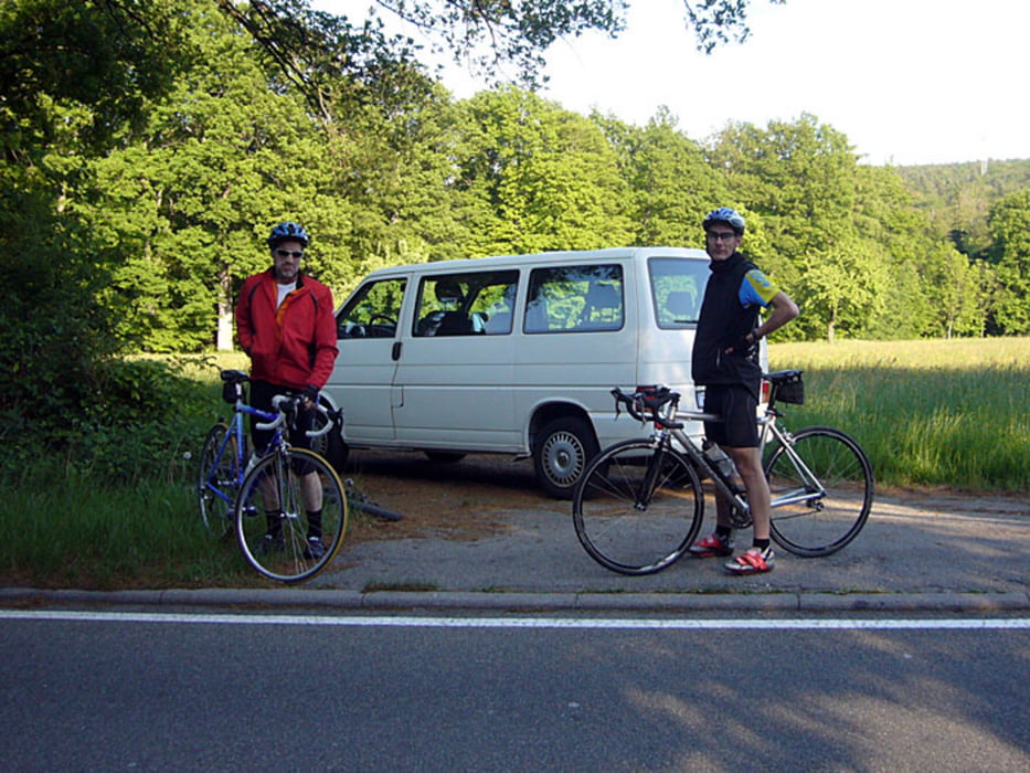
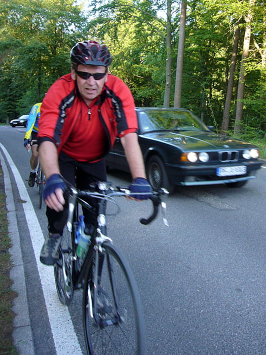
Immer Mittwochs gehts mit der Radgruppe des ITU zu Touren in die Umgebung .
Diesmal gings in den Schwarzwald. Eine Kurzbeschreibung ist unten aufgeführt. Mein Track endet allerdingst in Friedrichstal. Nach der Tour und der fortgeschrittenen Zeit habe ich den direkten Weg nach Hause genommen. Startzeit 17.00 Uhr bei 15°C und Sonnenschein.
KIT - Blankenloch - Grötzingen - Berghausen - Pfinztal - Singen - Remchingen - Nöttingen - Ellmendingen - Grenzsägmühle - Schwann - Neusatz - Rotensol - Kullenmühle - Marxzell - Ettlingen - Karlsruhe - KIT.
Tour gallery
Tour map and elevation profile
Minimum height 104 m
Maximum height 575 m
More about the tour author
|
|
Albert59 |
Comments

GPS tracks
Trackpoints-
GPX / Garmin Map Source (gpx) download
-
TCX / Garmin Training Center® (tcx) download
-
CRS / Garmin Training Center® (crs) download
-
Google Earth (kml) download
-
G7ToWin (g7t) download
-
TTQV (trk) download
-
Overlay (ovl) download
-
Fugawi (txt) download
-
Kompass (DAV) Track (tk) download
-
Track data sheet (pdf) download
-
Original file of the author (tcx) download
More about the tour author
|
|
Albert59 |
Add to my favorites
Remove from my favorites
Edit tags
Open track
My score
Rate