


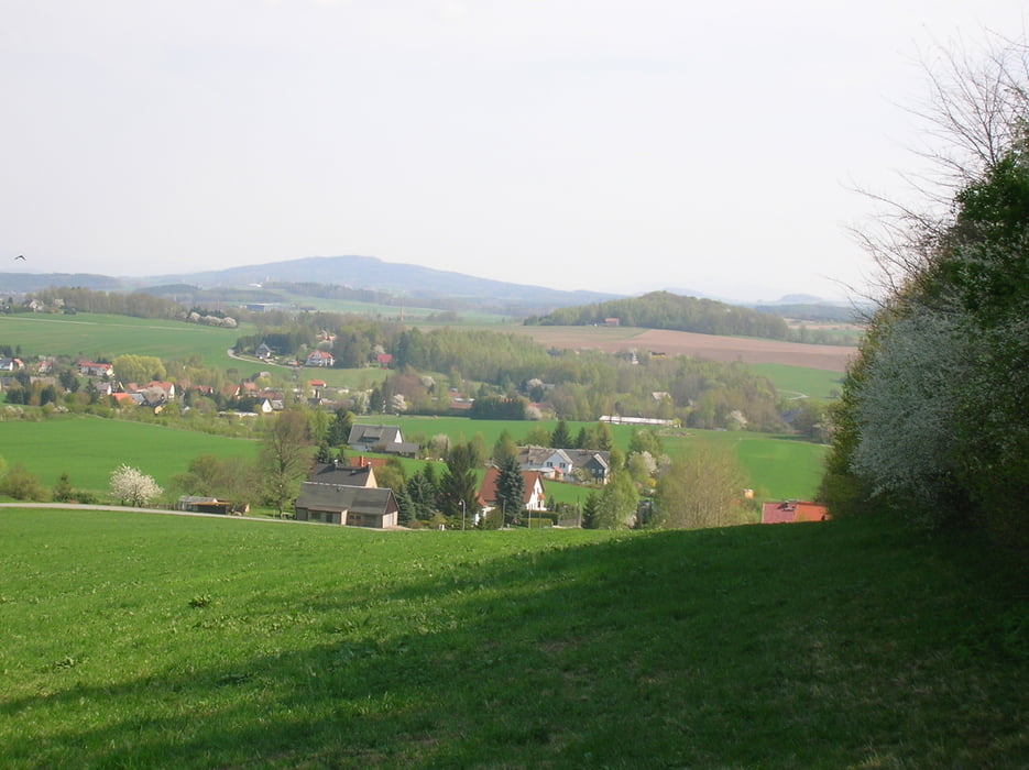
Auch im Oberlausitzer Bergland gibt es lohnende Touren!
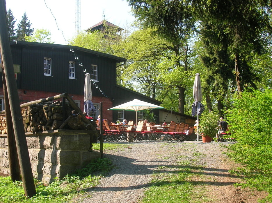
Diese Wanderung führt über den Bieleboh, ein oft bestiegener Berg mit Gastwirtschaft und Aussichtsturm.
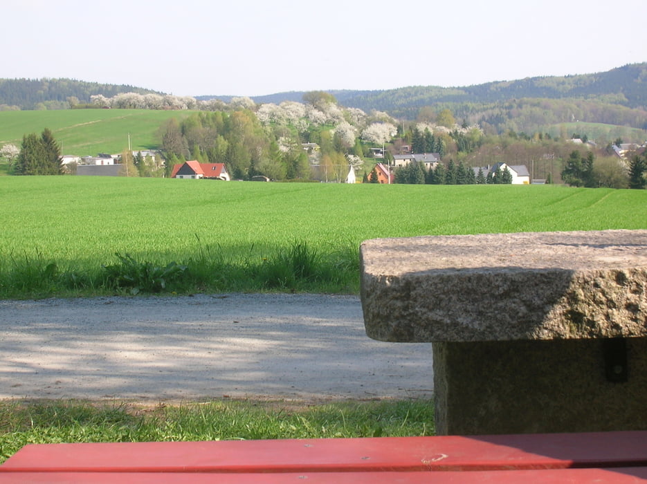
Der Weg führt zum großen Teil über offenes Gelände und gibt somit schöne Blicke über die Landschaft frei.
Tour gallery
Tour map and elevation profile
Minimum height 297 m
Maximum height 535 m
More about the tour author

|
Oberlausitzer |
Comments

Von der B96 in Weigsdorf-Köblitz nach Cunewalde abbiegen.
In Cunewalde rechts abbiegen (Hinweisschild Sportzentrum bzw. Bad). Dort sind Parkplätze vorhanden.
In Cunewalde rechts abbiegen (Hinweisschild Sportzentrum bzw. Bad). Dort sind Parkplätze vorhanden.
GPS tracks
Trackpoints-
GPX / Garmin Map Source (gpx) download
-
TCX / Garmin Training Center® (tcx) download
-
CRS / Garmin Training Center® (crs) download
-
Google Earth (kml) download
-
G7ToWin (g7t) download
-
TTQV (trk) download
-
Overlay (ovl) download
-
Fugawi (txt) download
-
Kompass (DAV) Track (tk) download
-
Track data sheet (pdf) download
-
Original file of the author (gpx) download
More about the tour author
|
|
Oberlausitzer |
Add to my favorites
Remove from my favorites
Edit tags
Open track
My score
Rate