Login

Forgotten password?

Cookies have to be accepted!
Your browser's cookie functionality is disabled. Please enable this functionality.

Not a member yet?

Register now
Login

Available for registred users only

Log in to use this feature.

Forgotten password?

Cookies have to be accepted!
Your browser's cookie functionality is disabled. Please enable this functionality.

Not a member yet?

Register now
Filter
Categories
Advanced filters
  • Distance (km)
  • Height
Save filters Reset filter

TrackRank

QRCode

Technical data

Distance84,6 km Height760 m Way down782 m Duration02:48 h:m Date13.05.2007
Scores Author Landscape Fun factor Fitness Technique

Statistics

549 Views Scores 68 Downloads Average
Rate
  • Track data sheet
  • Directions
  • Downloads
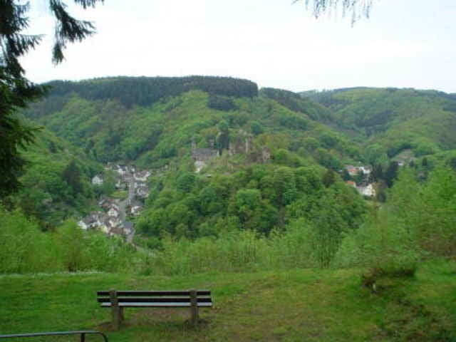
Radtour über Westerwälder Seenplatte durchs Sayntal zur Isenburg. Zurück über Dierdorf durchs Puderbacher Land nach Hachenburg.

Tour gallery

Tour map and elevation profile

  • Open Street Map
  • Google
Minimum height 126 m Maximum height 474 m Detailed view

More about the tour author

Jules Winfield

Comments

von der A3 kommend, Ausfahrt Dierdorf, dann nach Hachenburg. Start und Ziel in Hachenburg

GPS tracks

Trackpoints
  • GPX / Garmin Map Source (gpx) download
  • TCX / Garmin Training Center® (tcx) download
  • CRS / Garmin Training Center® (crs) download
  • Google Earth (kml) download
  • G7ToWin (g7t) download
  • TTQV (trk) download
  • Overlay (ovl) download
  • Fugawi (txt) download
  • Kompass (DAV) Track (tk) download
  • Track data sheet (pdf) download
  • Original file of the author (g7t) download

More about the tour author

Jules Winfield

Share track
Add to my favorites
Remove from my favorites
Edit tags
My score
Rate
Track: Zur Isenburg
Type: Road biking
Distance: 84,6 km
Evaluated on:
Duration:
Day(s)
Hour(s)
Minute(s)
Score: Landscape Fun factor Fitness Technique