Login

Forgotten password?

Cookies have to be accepted!
Your browser's cookie functionality is disabled. Please enable this functionality.

Not a member yet?

Register now
Login

Available for registred users only

Log in to use this feature.

Forgotten password?

Cookies have to be accepted!
Your browser's cookie functionality is disabled. Please enable this functionality.

Not a member yet?

Register now
Filter
Categories
Advanced filters
  • Distance (km)
  • Height
Save filters Reset filter

TrackRank

QRCode

Technical data

Distance29,2 km Height964 m Way down952 m Duration02:30 h:m Date08.05.2011
Scores Author User Landscape Fun factor Fitness Technique

Statistics

447 Views 2 Scores 62 Downloads 3.50 Average
Rate
  • Track data sheet
  • Directions
  • Downloads
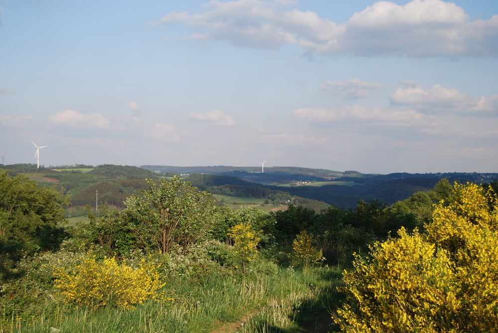
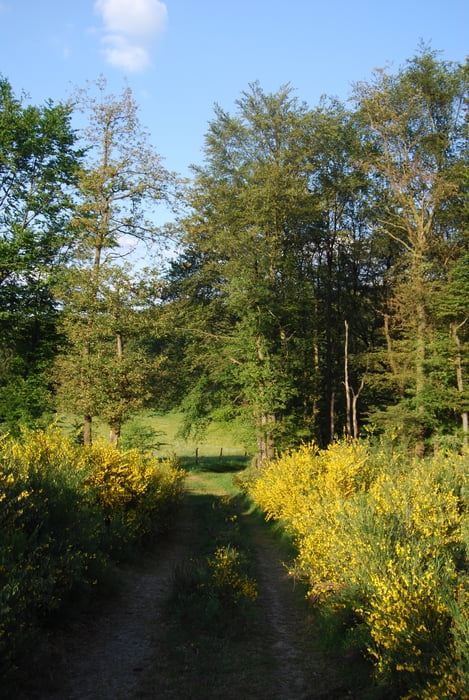
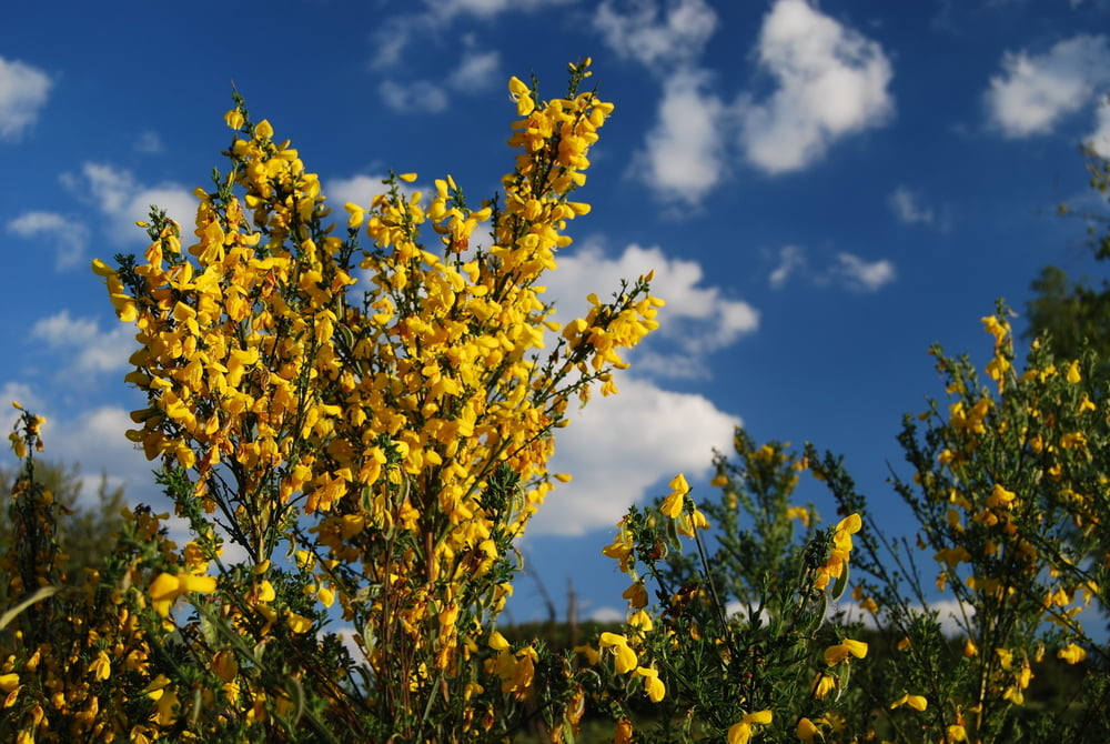
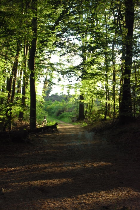
Schöne Tour über die Höhen des Volmetales von Hagen Dahl zur Glörtalsperre und zurück. Dabei schöne Abfahrten mit Singletrails und traumhaftes Aussicht bei schönem Wetter über die Höhen des Sauerlands. Asphalt konnte zwar nicht komplett vermieden werden, wurde aber auf ein Minimum reduziert. Aufstieg in Dahlerbrück nur auf einem kurzen Abschnitt etwas tricky, sonst aber durchgehend gut fahrbar.

Tour gallery

Tour map and elevation profile

  • Open Street Map
  • Google
Minimum height 157 m Maximum height 390 m Detailed view

More about the tour author

Vielmuell
Member since 2010

Send private message

Comments

GPS tracks

Trackpoints
  • GPX / Garmin Map Source (gpx) download
  • TCX / Garmin Training Center® (tcx) download
  • CRS / Garmin Training Center® (crs) download
  • Google Earth (kml) download
  • G7ToWin (g7t) download
  • TTQV (trk) download
  • Overlay (ovl) download
  • Fugawi (txt) download
  • Kompass (DAV) Track (tk) download
  • Track data sheet (pdf) download
  • Original file of the author (tcx) download

More about the tour author

Vielmuell
Member since 2010

Send private message
Share track
Add to my favorites
Remove from my favorites
Edit tags
My score
Rate
Track: Über die Höhen des Volmetals zur Glör
Type: Mountain bike
Distance: 29,2 km
Evaluated on:
Duration:
Day(s)
Hour(s)
Minute(s)
Score: Landscape Fun factor Fitness Technique