Login

Forgotten password?

Cookies have to be accepted!
Your browser's cookie functionality is disabled. Please enable this functionality.

Not a member yet?

Register now
Login

Available for registred users only

Log in to use this feature.

Forgotten password?

Cookies have to be accepted!
Your browser's cookie functionality is disabled. Please enable this functionality.

Not a member yet?

Register now
Filter
Categories
Advanced filters
  • Distance (km)
  • Height
Save filters Reset filter

TrackRank

QRCode

Technical data

Distance181,1 km Height1435 m Way down1423 m Duration00:00 h:m Date19.05.2007
Scores Author Landscape Fun factor Fitness Technique

Statistics

2823 Views Scores 365 Downloads Average
Rate
  • Track data sheet
  • Directions
  • Downloads
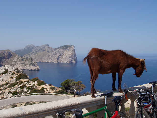
Von Playa de Palma fährt man über Santa Eugenia, Biniagual nach Sa Pobla. Weiter entlang des Parc Natural s'Albufera über Alcudia und Port de Pollenca nach Cap Formentor. Der Rückweg von Cap Formentor führt über Pollenca, Campanet, Selva und Biniali zurück nach Playa de Palma.

Tour map and elevation profile

  • Open Street Map
  • Google
Minimum height 1 m Maximum height 222 m Detailed view

More about the tour author

jub
Member since 2006

Send private message

Comments

GPS tracks

Trackpoints
  • GPX / Garmin Map Source (gpx) download
  • TCX / Garmin Training Center® (tcx) download
  • CRS / Garmin Training Center® (crs) download
  • Google Earth (kml) download
  • G7ToWin (g7t) download
  • TTQV (trk) download
  • Overlay (ovl) download
  • Fugawi (txt) download
  • Kompass (DAV) Track (tk) download
  • Track data sheet (pdf) download
  • Original file of the author (gpx) download

More about the tour author

jub
Member since 2006

Send private message
Share track
Add to my favorites
Remove from my favorites
Edit tags
My score
Rate
Track: Cap Formentor
Type: Road biking
Distance: 181,1 km
Evaluated on:
Duration:
Day(s)
Hour(s)
Minute(s)
Score: Landscape Fun factor Fitness Technique