


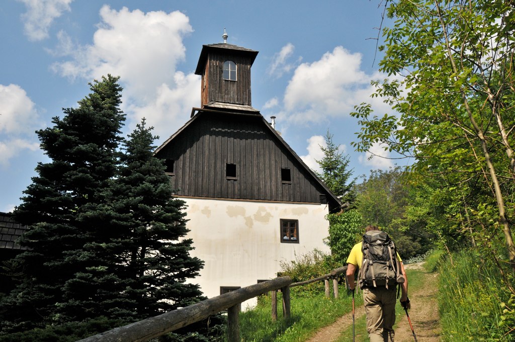
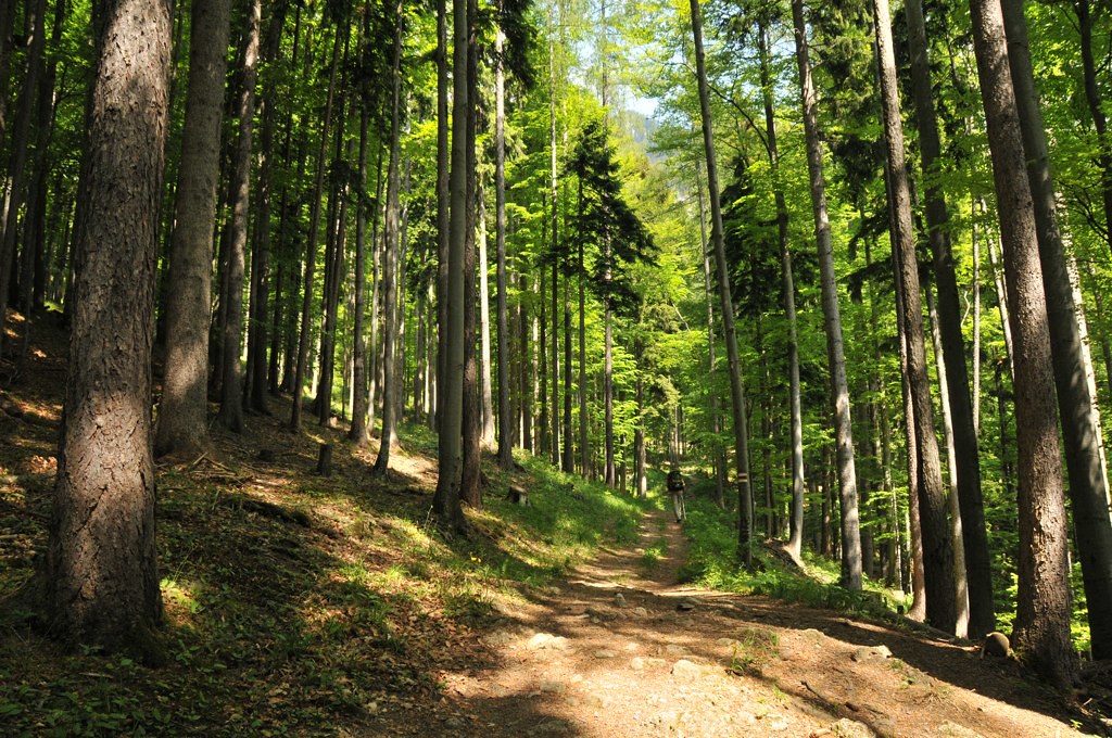
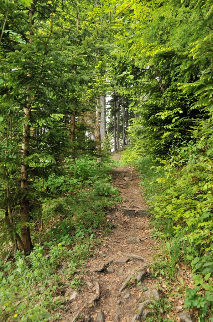
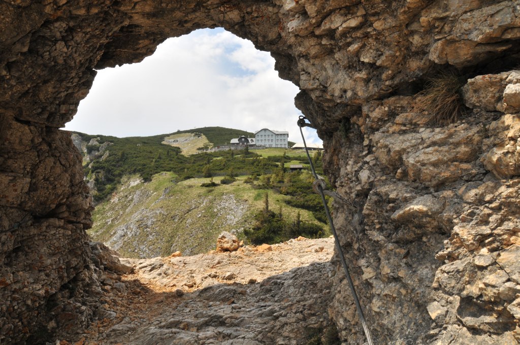
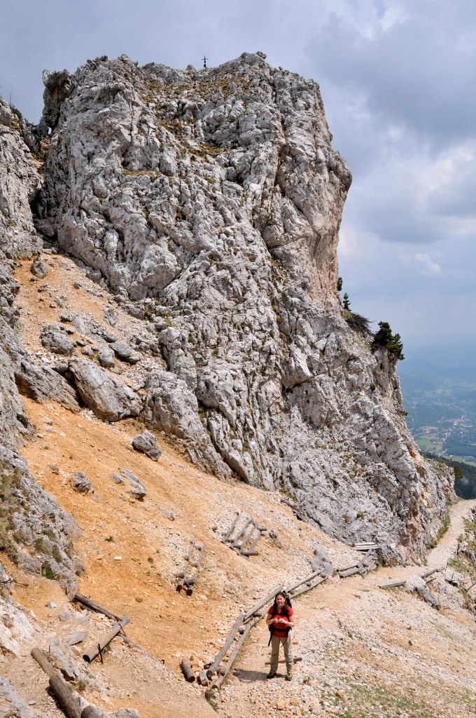
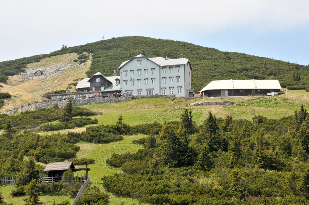
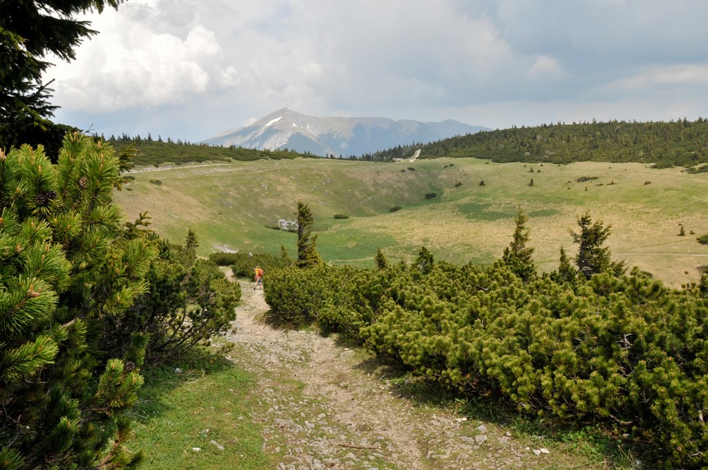
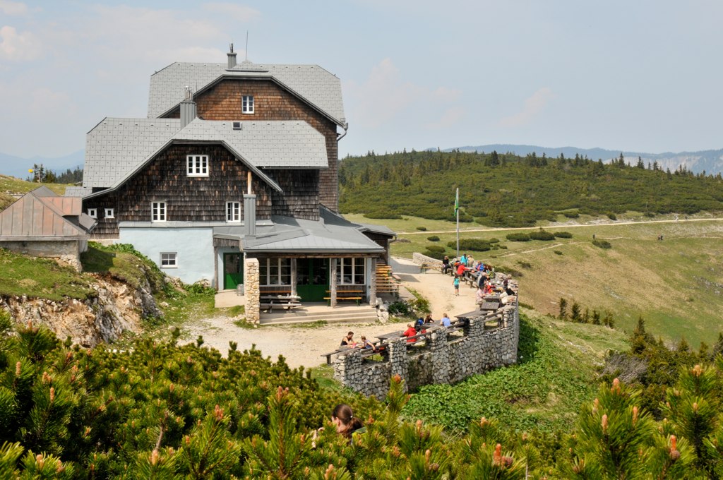
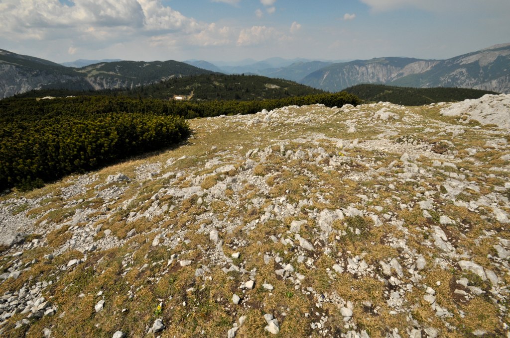
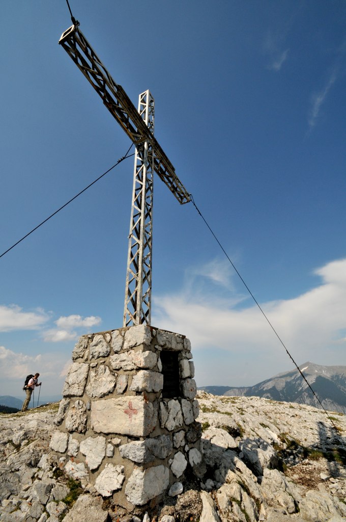
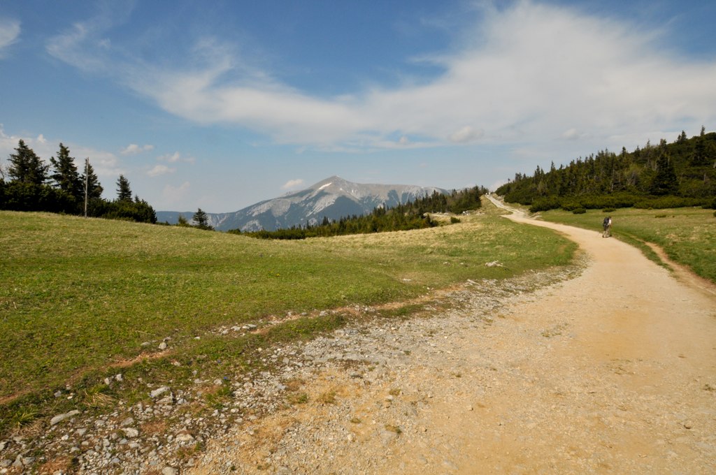
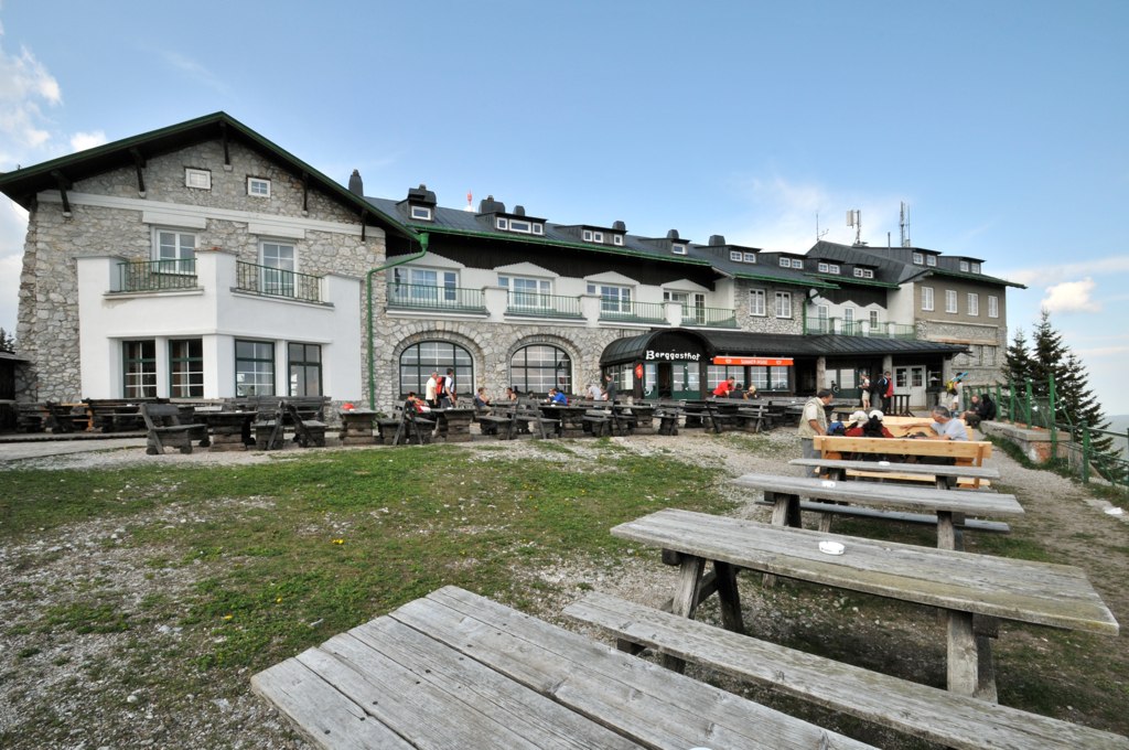
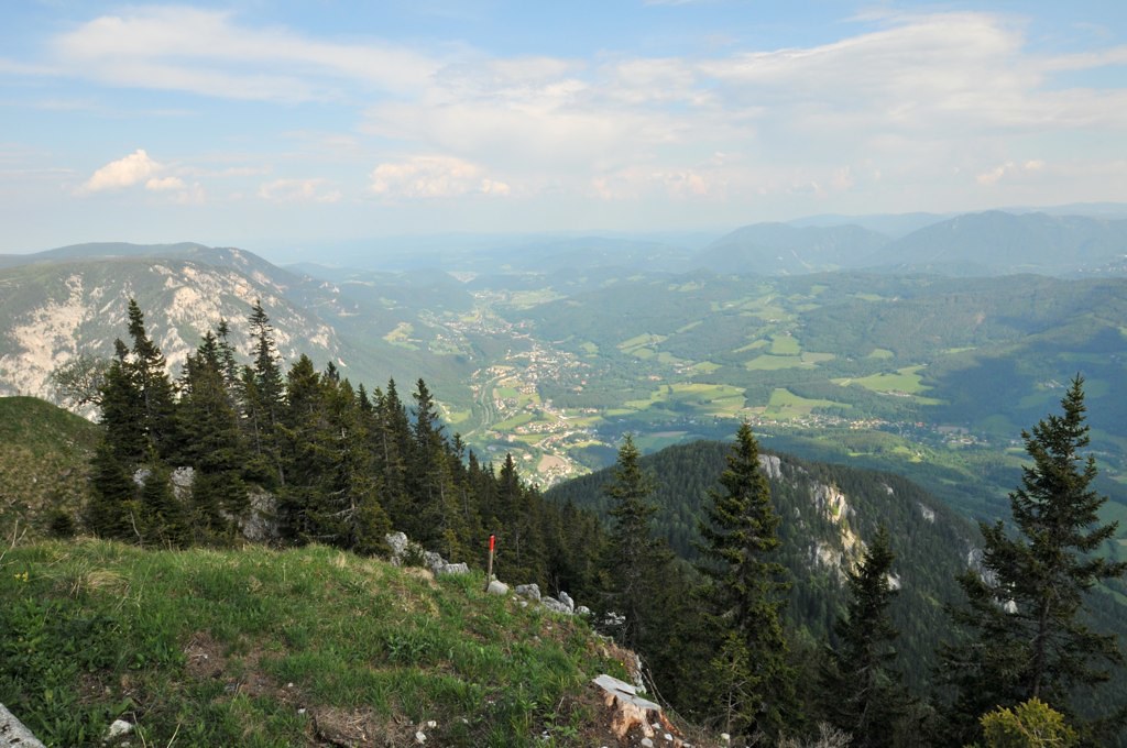
Beginnend beim Knappenhof geht es bald steiler voran. An der Gabelung gehen wir links weiter den Törlweg, der direkt zur Otto Schutzhütte führt. Gute Kondition und Stöcke erforderlich, ebenso steil geht es später wieder runter. nach 2,5 Std. erreichen wir das Ottohaus und stärken uns. Grandioser Ausblick! Vorher noch ein Fotostop beim Loch im Felsen. Nach einer Pause gehen wir noch höher die 20min bis zum Jakobskogel. sehr steinig zu gehen. Die Plateauphase Richtung Bergstation ist recht gemütlich zum Auflockern, bevor wir den 2 Std. Abstieg hinter der Hütte beginnen. Sehr unangenehm zu gehen, fast nur Geröll auf dem auch Laub liegt, sehr rutschig und steil. Ohne Stöcke fatal.
Die Route umzudrehen würde ich nicht empfehlen.
Further information at
http://www.knappenhof.at/knappenhof/start.htmlTour gallery


Tour map and elevation profile
Minimum height 763 m
Maximum height 1734 m
More about the tour author
|
|
suz1 |
Comments

siehe link zum Knappenhof in Edlach.
GPS tracks
Trackpoints-
GPX / Garmin Map Source (gpx) download
-
TCX / Garmin Training Center® (tcx) download
-
CRS / Garmin Training Center® (crs) download
-
Google Earth (kml) download
-
G7ToWin (g7t) download
-
TTQV (trk) download
-
Overlay (ovl) download
-
Fugawi (txt) download
-
Kompass (DAV) Track (tk) download
-
Track data sheet (pdf) download
-
Original file of the author (gpx) download
More about the tour author
|
|
suz1 |
Add to my favorites
Remove from my favorites
Edit tags
Open track
My score
Rate