


Ausgangspunkt: Parkplatz bei der Bosruckhütte (1.036m).
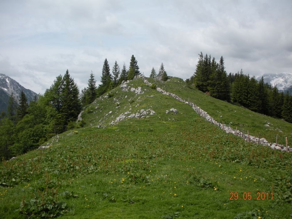
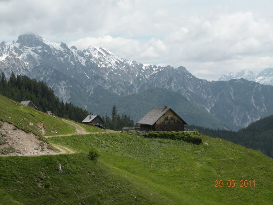
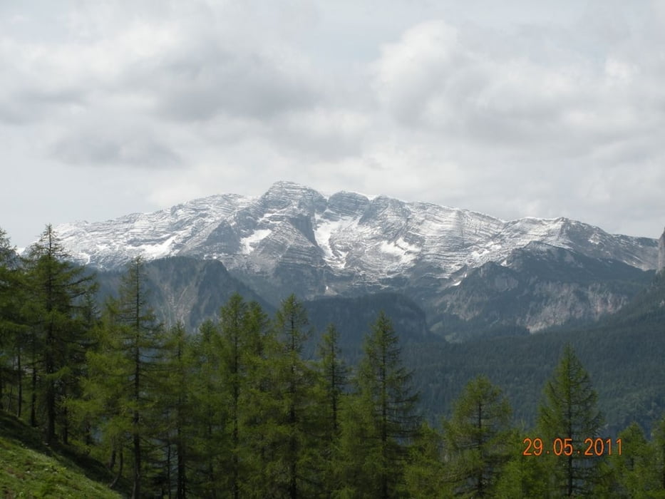
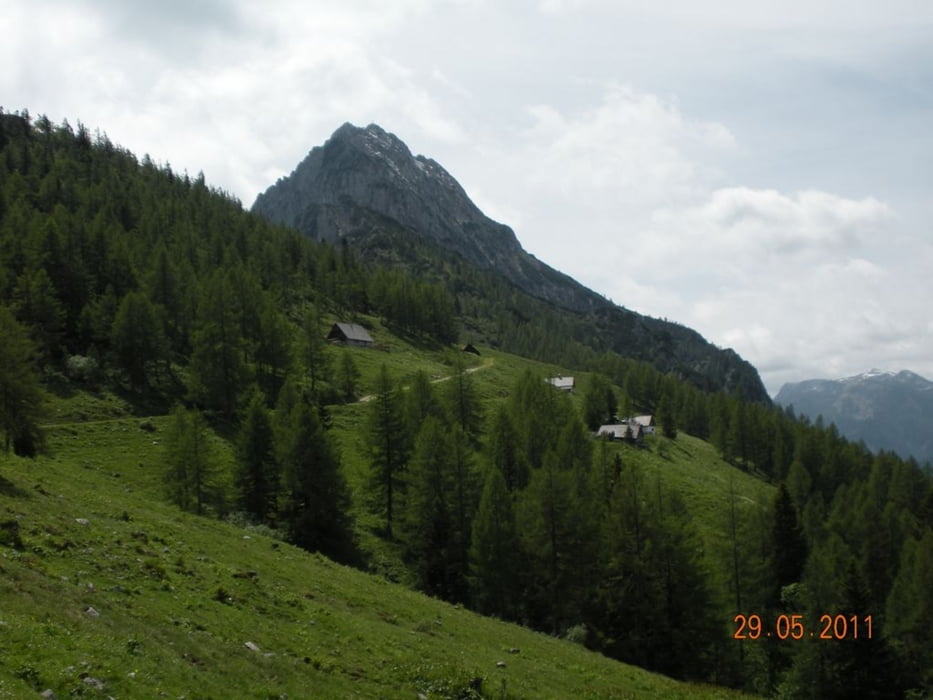
Auf dem Forstweg bis zur Abzweigung auf die Hiaslalm, weiter auf den Hofalmsattel (1.330m). Wegen Schneelage war der Aufstieg auf den Gr. Pyhrgas (2.244m) nicht möglich. Deswegen wieder runter zur Hiaslalm und auf direktem Weg zum Rohrauerhaus (1.354m), zum Pyhrgasgatterl und rund um das Karleck bis zur Ardningalm. Rechts abzweigen und steil aufsteigen bis zum Arlingsattel (1.425m) am Fuße des Bosruck. Auf dem Forstweg wieder zurück zum Ausgangspunkt.
Tour gallery
Tour map and elevation profile
Minimum height 1009 m
Maximum height 1420 m
More about the tour author
|
|
Fritzl71 |
Comments

A 9 Pyhrnautobahn Abfahrt Spital am Pyhrn, am Ortsende rechts abzweigen Richtung Dr.-Vogelsangklamm/Bosruckhütte
GPS tracks
Trackpoints-
GPX / Garmin Map Source (gpx) download
-
TCX / Garmin Training Center® (tcx) download
-
CRS / Garmin Training Center® (crs) download
-
Google Earth (kml) download
-
G7ToWin (g7t) download
-
TTQV (trk) download
-
Overlay (ovl) download
-
Fugawi (txt) download
-
Kompass (DAV) Track (tk) download
-
Track data sheet (pdf) download
-
Original file of the author (gpx) download
More about the tour author
|
|
Fritzl71 |
Add to my favorites
Remove from my favorites
Edit tags
Open track
My score
Rate