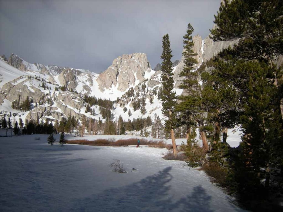
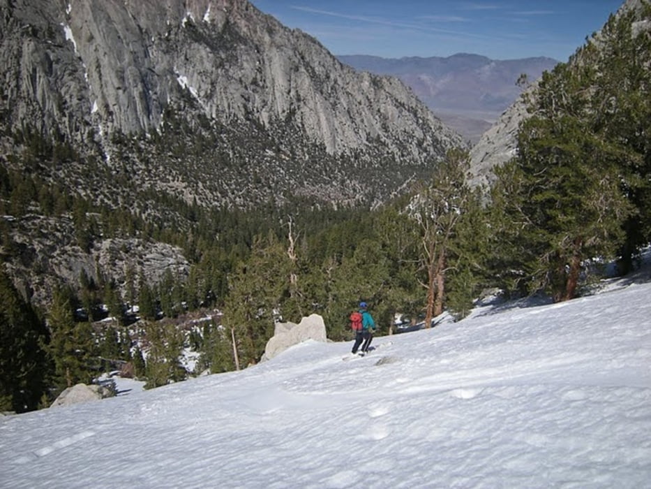
Von Whitney Portal über die Brücke über den S.Fork Lone Pine Creek und links des Baches zuerst durch dichten dann lichten Kiefernwald über Bighorn Park zum Mirror Lake. Hier halblinks über die Steilstufe zum Consultation Lake. Halbrechts durch die prominente Rinne auf den Sattel rechts des Gipfels (von uns Schneider's Crest benannt) und über die steile Gipfelflanke zum Vorgipfel. Bis hierher bei guten Verhältnissen mit Ski. Dann in leichter Kletterei zum 30m höheren Hauptgipfel (4100m).
Abfahrt wie Aufstieg, oder im unteren Teil die rechts durch die Felsen abzweigende Rinne bis zum Consultation Lake benutzen.
Hier entweder wie Abfahrt oder die Ski über ein zwei Felsbänder tragend zum Fuß der 3 couloirs am Wotans Throne. Nun entweder Abfahrt zum Mirror Lake oder zuerst durch die Couloirs zu Fuß, dann wieder mit Ski zum Wotans Throne aufsteigen. Wir benutzten das Rechte mit einem kurzen Felspassage für den Aufstieg, das Mittlere für die Abfahrt. Vom Fuß der couloirs in optimalem Skigelänge direkt zum Mirror Lake und entlang der Aufstiegsspur zurück zum Parkplatz.
Tour gallery
Tour map and elevation profile
Minimum height 2543 m
Maximum height 4139 m
Comments

von Lone Pine (US 395) zum Whitney Portal. Straße hatte Ende April 2011 offiziell noch Wintersperre, jedoch keine Schranke sondern nur ein umfahrbare Bake mit "road closed" - Schild
GPS tracks
Trackpoints-
GPX / Garmin Map Source (gpx) download
-
TCX / Garmin Training Center® (tcx) download
-
CRS / Garmin Training Center® (crs) download
-
Google Earth (kml) download
-
G7ToWin (g7t) download
-
TTQV (trk) download
-
Overlay (ovl) download
-
Fugawi (txt) download
-
Kompass (DAV) Track (tk) download
-
Track data sheet (pdf) download
-
Original file of the author (gpx) download
Add to my favorites
Remove from my favorites
Edit tags
Open track
My score
Rate


