Login

Forgotten password?

Cookies have to be accepted!
Your browser's cookie functionality is disabled. Please enable this functionality.

Not a member yet?

Register now
Login

Available for registred users only

Log in to use this feature.

Forgotten password?

Cookies have to be accepted!
Your browser's cookie functionality is disabled. Please enable this functionality.

Not a member yet?

Register now
Filter
Categories
Advanced filters
  • Distance (km)
  • Height
Save filters Reset filter

TrackRank

QRCode

Technical data

Distance80,9 km Height2371 m Way down2370 m Duration3 days 0 h Date03.06.2011
Scores Author Landscape Fun factor Fitness Technique

Statistics

201 Views Scores 13 Downloads Average
Rate
  • Track data sheet
  • Directions
  • Downloads

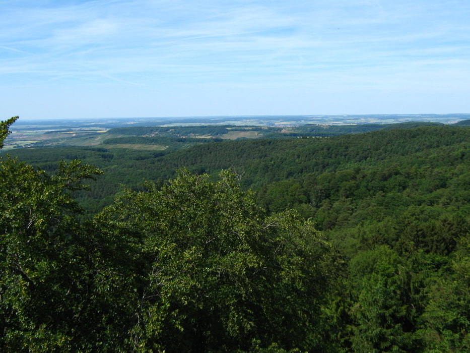
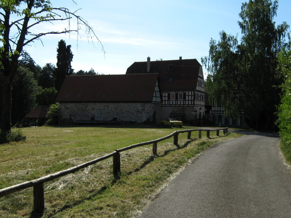
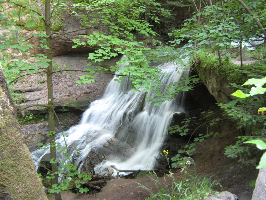
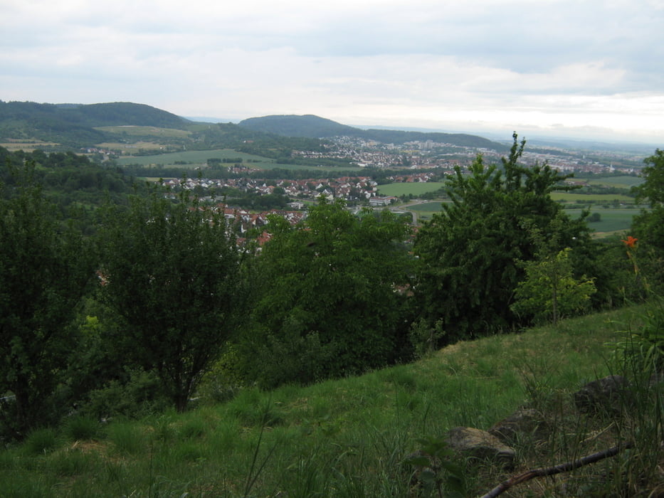
Tour von Öhringen im Hohenlohischen ins Remstal nach Remshalden-Grunbach, entlang des Georg Fahrbach Weges.

Immer wieder schöne Aussichten und Landschaftseindrücke.

Überwiegend auf guten Wegen, zum Teil steile Aufstiege.


Tour gallery

Tour map and elevation profile

  • Open Street Map
  • Google
Minimum height 220 m Maximum height 566 m Detailed view

More about the tour author

olker65
Member since 2009

Send private message

Comments

Öhringen und Remshalden-Grunbach sind beide günstig mit der Bahn zu erreichen.

GPS tracks

Trackpoints
  • GPX / Garmin Map Source (gpx) download
  • TCX / Garmin Training Center® (tcx) download
  • CRS / Garmin Training Center® (crs) download
  • Google Earth (kml) download
  • G7ToWin (g7t) download
  • TTQV (trk) download
  • Overlay (ovl) download
  • Fugawi (txt) download
  • Kompass (DAV) Track (tk) download
  • Track data sheet (pdf) download
  • Original file of the author (gpx) download

More about the tour author

olker65
Member since 2009

Send private message
Share track
Add to my favorites
Remove from my favorites
Edit tags
My score
Rate
Track: Öhringen - Grunbach
Type: Hiking
Distance: 80,9 km
Evaluated on:
Duration:
Day(s)
Hour(s)
Minute(s)
Score: Landscape Fun factor Fitness Technique