

Die ersten km fehlen leider, weil ich vergessen habe, die Track-Aufzeichnung einzuschalten.
*** NICHT ZUM NACHFAHREN GEEIGNET ***
*** NICHT ZUM NACHFAHREN GEEIGNET ***
Tour gallery
Tour map and elevation profile
Minimum height 923 m
Maximum height 2289 m
More about the tour author

|
Comments
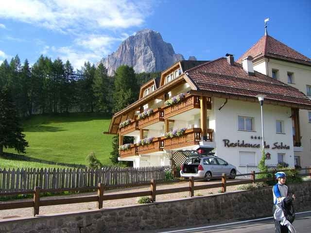
St. Vigil
GPS tracks
Trackpoints-
GPX / Garmin Map Source (gpx) download
-
TCX / Garmin Training Center® (tcx) download
-
CRS / Garmin Training Center® (crs) download
-
Google Earth (kml) download
-
G7ToWin (g7t) download
-
TTQV (trk) download
-
Overlay (ovl) download
-
Fugawi (txt) download
-
Kompass (DAV) Track (tk) download
-
Track data sheet (pdf) download
-
Original file of the author (gpx) download
More about the tour author
|
|
Add to my favorites
Remove from my favorites
Edit tags
Open track
My score
Rate
Zu langweilig?
Nicht fahrbar?