


In Ebensee die Langwieserstrasse ca.3,5 km entlangfahren und das Auto an der Haltestelle Steinkogel abstellen.
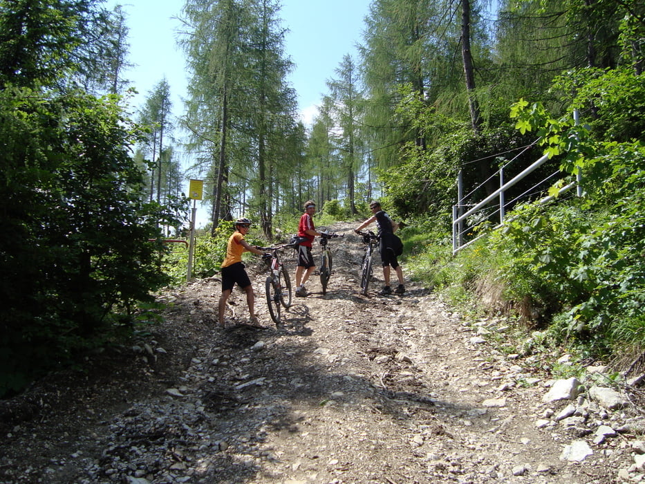
Der Offenseestrasse 1,5km entlang auf Asphalt und dann rechts auf eine Forststrasse einbiegen. Ab jetzt geht es bis fast zur Brombergalm im Wald auf einer Forststrasse bergauf. (10km, 1000hm) Die letzten Höhenmeter ist uns zu steil und zu ruppig zum fahren gewesen und wir mussten schieben. (anscheinend gibt es Biker die auch hier fahren!)
mehr Bilder: seppdepp.heim.at
Tour gallery


Tour map and elevation profile
Minimum height 437 m
Maximum height 1446 m
More about the tour author
|
|
Atzbach |
Comments
GPS tracks
Trackpoints-
GPX / Garmin Map Source (gpx) download
-
TCX / Garmin Training Center® (tcx) download
-
CRS / Garmin Training Center® (crs) download
-
Google Earth (kml) download
-
G7ToWin (g7t) download
-
TTQV (trk) download
-
Overlay (ovl) download
-
Fugawi (txt) download
-
Kompass (DAV) Track (tk) download
-
Track data sheet (pdf) download
-
Original file of the author (gpx) download
More about the tour author
|
|
Atzbach |
Add to my favorites
Remove from my favorites
Edit tags
Open track
My score
Rate
Bromberg
Unbedingt zu empfehlen.
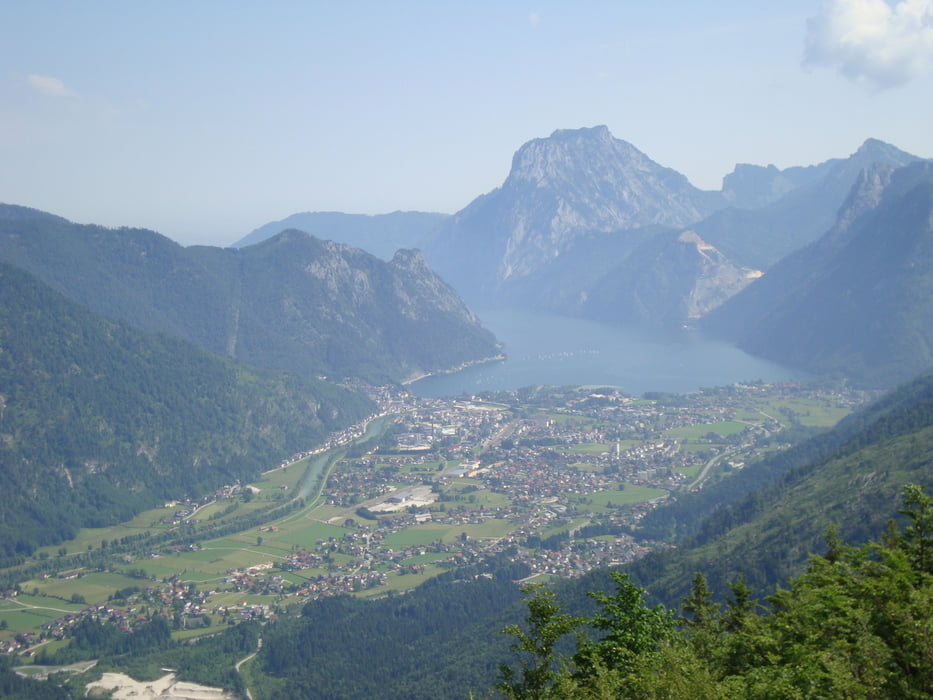
Traumhafte Ausblicke ins Salzkammergut.
Bromberg
schön zu fahren, nur das letzte Stück ist immer noch sehr ruppig. Tolle Aussicht