


Sehr schöne Tour auf wenig befahrenen befestigten Wegen.
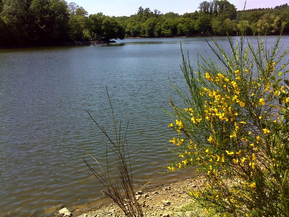
Einkehrmöglichkeit an der Steinbachtalsperre
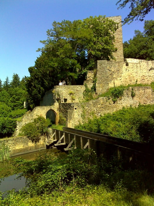
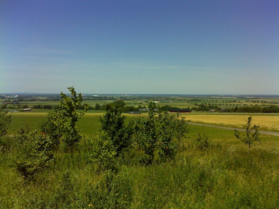
vor der Hardtburg sehr schöner Aussichtspunkt über die Köln Bonner Bucht
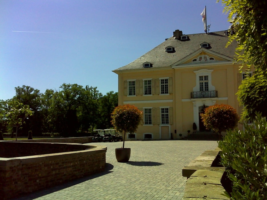
Tour gallery
Tour map and elevation profile
Minimum height 74 m
Maximum height 290 m
More about the tour author

|
HaJoBe |
Comments

Einstiegmöglichkeit an der gesamten Tour da Rundkurs
GPS tracks
Trackpoints-
GPX / Garmin Map Source (gpx) download
-
TCX / Garmin Training Center® (tcx) download
-
CRS / Garmin Training Center® (crs) download
-
Google Earth (kml) download
-
G7ToWin (g7t) download
-
TTQV (trk) download
-
Overlay (ovl) download
-
Fugawi (txt) download
-
Kompass (DAV) Track (tk) download
-
Track data sheet (pdf) download
-
Original file of the author (gpx) download
More about the tour author
|
|
HaJoBe |
Add to my favorites
Remove from my favorites
Edit tags
Open track
My score
Rate