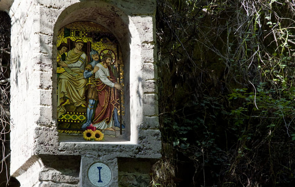
Wir beginnen die Wallfahrtswanderung beim Haus Emmaus in Leifers. Von dort führt der gepflasterte Wallfahrtssteig mit der Nummer 1 stetig bergauf in Richtung Peterköfele. Die kleine Kirche bietet einen tollen Ausblick auf das Südtiroler Unterland. Weiter geht es von dort auf einem eher breiten Wanderweg durch Waldviertel, die eigene Namen tragen, entlang der Kreuzwegstationen bis hinauf zum Dorf Deutschnofen und schließlich nach einer Überquerung der Straße zum Kloster Maria Weissenstein auf 1.520 m. Für den Rückweg wählen wir den steilen Wanderweg Nr. 5B durch das Brantental. Etwa auf halbem Weg erreichen wir bei einem Gasthof die asphaltierte Straße, auf der wir zu unserem Ausgangspunkt zurückkehren.
Further information at
http://www.diewanderer.it/wallfahrt-leifers-maria-weissenstein/Tour gallery
Tour map and elevation profile
Minimum height 344 m
Maximum height 1540 m
Comments

Die Anfahrt von Norden kommend erfolgt über Bozen und die Staatsstraße in Richtung Trient bis zum Ex-Gasthof Moser (Haus Emmaus).
GPS tracks
Trackpoints-
GPX / Garmin Map Source (gpx) download
-
TCX / Garmin Training Center® (tcx) download
-
CRS / Garmin Training Center® (crs) download
-
Google Earth (kml) download
-
G7ToWin (g7t) download
-
TTQV (trk) download
-
Overlay (ovl) download
-
Fugawi (txt) download
-
Kompass (DAV) Track (tk) download
-
Track data sheet (pdf) download
-
Original file of the author (gpx) download
Add to my favorites
Remove from my favorites
Edit tags
Open track
My score
Rate


