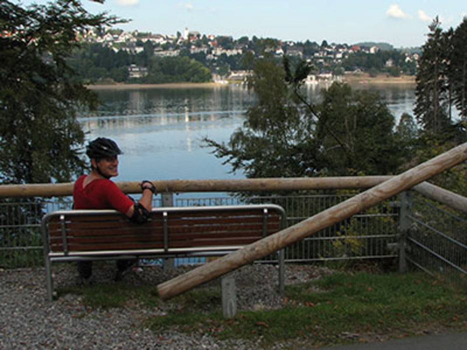
Ab und zu, bei schönen Wetter, übernachten wir im Wohnmobil an der Sorpe.
Der Rundweg um den See läst sich ganz gut mit den Inlinern befahren, ca. 15km.
Am Ende des Sees ist ein Restaurant, mit Blick zum See. Um die Mittagszeit halten wir hier schon mal an, um zu essen.
Tour map and elevation profile
Minimum height 285 m
Maximum height 351 m
Comments

siehe Routenplaner
GPS tracks
Trackpoints-
GPX / Garmin Map Source (gpx) download
-
TCX / Garmin Training Center® (tcx) download
-
CRS / Garmin Training Center® (crs) download
-
Google Earth (kml) download
-
G7ToWin (g7t) download
-
TTQV (trk) download
-
Overlay (ovl) download
-
Fugawi (txt) download
-
Kompass (DAV) Track (tk) download
-
Track data sheet (pdf) download
-
Original file of the author (gpx) download
Add to my favorites
Remove from my favorites
Edit tags
Open track
My score
Rate

