


Eine Fahrt durch das Altmühltal in Richtung Eichstädt.
Schon am Morgen war super Wetter!
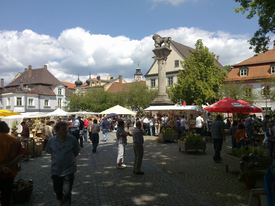
Landschaftlich sehr schön, leider viel Verkehr!
Start und Ziel am Raffelsteiner Hof, sehr nett und empfehlenswert!
www.raffelsteiner-hof.de/
Schon am Morgen war super Wetter!
Landschaftlich sehr schön, leider viel Verkehr!
Start und Ziel am Raffelsteiner Hof, sehr nett und empfehlenswert!
www.raffelsteiner-hof.de/
Tour gallery


Tour map and elevation profile
Minimum height 376 m
Maximum height 433 m
More about the tour author
|
|
GS_Rider |
Comments

GPS tracks
Trackpoints-
GPX / Garmin Map Source (gpx) download
-
TCX / Garmin Training Center® (tcx) download
-
CRS / Garmin Training Center® (crs) download
-
Google Earth (kml) download
-
G7ToWin (g7t) download
-
TTQV (trk) download
-
Overlay (ovl) download
-
Fugawi (txt) download
-
Kompass (DAV) Track (tk) download
-
Track data sheet (pdf) download
-
Original file of the author (gpx) download
More about the tour author
|
|
GS_Rider |
Add to my favorites
Remove from my favorites
Edit tags
Open track
My score
Rate