


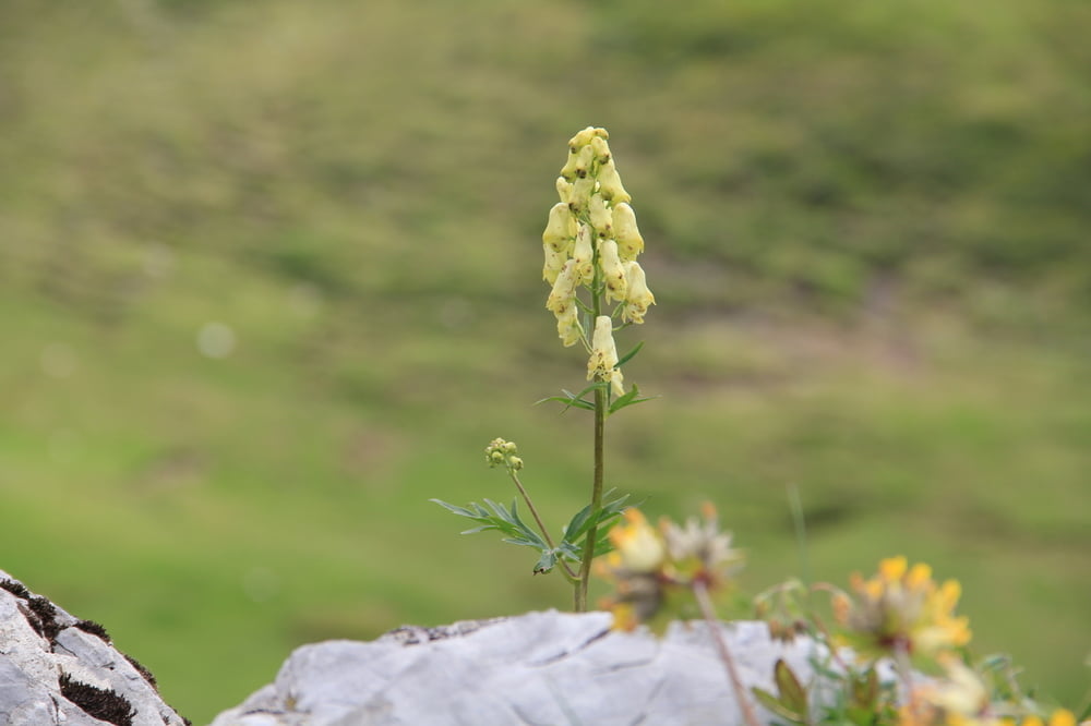
Vom Parkplatz Furx gehen wir über das Alpwegkopfhaus und den Leseweg bis zum Hohen Freschen. In den Rückweg haben wir 2 Varianten eingebaut: statt den Leseweg zurück zu gehen, sind wir links herum um den Berg gelaufen (war aber nicht so interessant das nur auf einer Strasse gegangen wird). Und ab dem Alpsteinkopfhaus sind wir ebenfalls erst auf den Aussichtspunkt und dann auf der Südseite nach Furx hinab gegangen (steiler Wurzelpfad). Auf der ganzen Wanderung haben wir herrliche Blumen und Orchideen betrachten können.
Anmerkung: die geraden Linien müßt ihr euch weglöschen, die hat es leider so übernommen
Tour gallery


Tour map and elevation profile
Minimum height 382 m
Maximum height 1849 m
More about the tour author
|
|
Fruehaufsteher |
Comments

GPS tracks
Trackpoints-
GPX / Garmin Map Source (gpx) download
-
TCX / Garmin Training Center® (tcx) download
-
CRS / Garmin Training Center® (crs) download
-
Google Earth (kml) download
-
G7ToWin (g7t) download
-
TTQV (trk) download
-
Overlay (ovl) download
-
Fugawi (txt) download
-
Kompass (DAV) Track (tk) download
-
Track data sheet (pdf) download
-
Original file of the author (gpx) download
More about the tour author
|
|
Fruehaufsteher |
Add to my favorites
Remove from my favorites
Edit tags
Open track
My score
Rate