


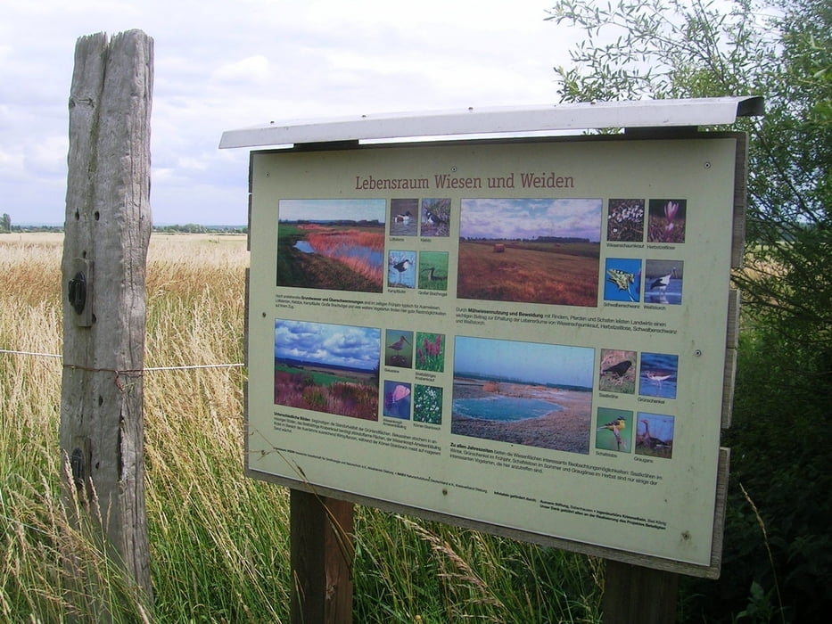
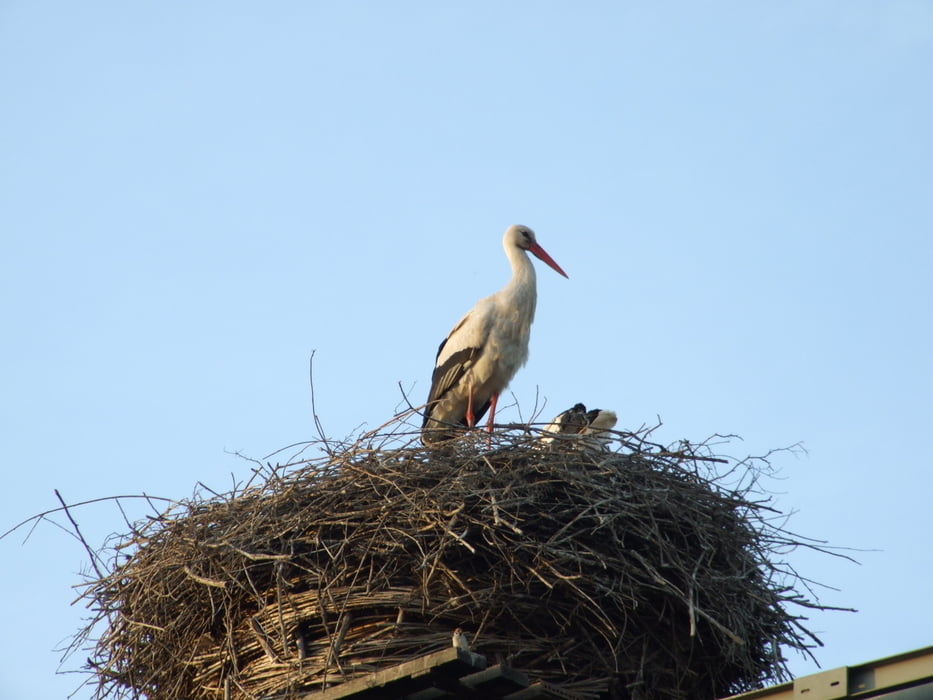
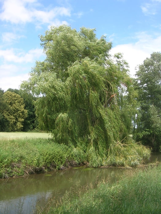
Sehr schöne Wanderung im Naturschutzgebiet entlang der Gersprenzaue zwischen Münster und Hergershausen.
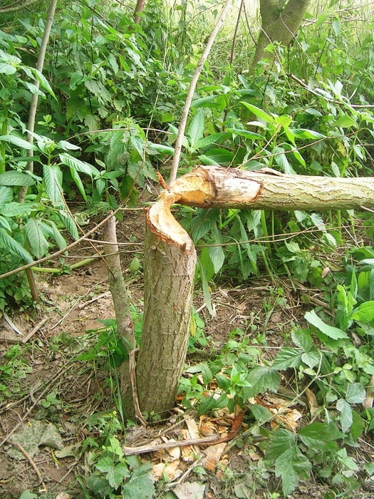
Weißstorch, Kiebitz, Watvögel, Enten, Wiesenpieper, und der Bieber ist hier heimisch.
Die Tour hat zu jeder Jahreszeit ihren individuellen Reiz. Sie ist auch mit dem Fahrrad, oder zum Joggen / Walken geeignet.
Tour gallery
Tour map and elevation profile
Minimum height 103 m
Maximum height 148 m
More about the tour author
|
|
mike_rosso |
Comments

Ein geeigneter Parkplatz befindet sich nördlich von Münster am Gersprenzstadion
( N 49° 55,974 / E 8° 51,831 ).
Zufahrt von Münster über die Altheimerstraße in den Werlacherweg bis zum Gerspenzstadion.
GPS tracks
Trackpoints-
GPX / Garmin Map Source (gpx) download
-
TCX / Garmin Training Center® (tcx) download
-
CRS / Garmin Training Center® (crs) download
-
Google Earth (kml) download
-
G7ToWin (g7t) download
-
TTQV (trk) download
-
Overlay (ovl) download
-
Fugawi (txt) download
-
Kompass (DAV) Track (tk) download
-
Track data sheet (pdf) download
-
Original file of the author (gpx) download
More about the tour author
|
|
mike_rosso |
Add to my favorites
Remove from my favorites
Edit tags
Open track
My score
Rate