


Anninger Achter-Schleife ("vorn aufi, hinten obi und wieda hoam"):
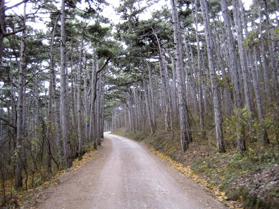
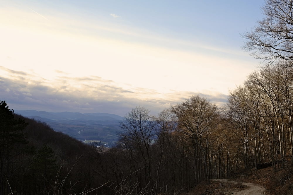
Startpunkt Guntramsdorf über Mödling Priessnitztal die Forststrasse hinauf zum Anningerschutzhaus. Dort gerade weiter über Gumpoldskirchner Steig hinunter nach Gaaden. Zurück über das Große Buchtal wieder hinauf auf Anninger und Wanderweg hinunter nach Guntramsdorf. Die angegebene Fahrtrichtung ist empfehlenswert - andernfalls ist aufgrund der Steigungen Kondition & Technik empfehlenswert.
Tour gallery
Tour map and elevation profile
Minimum height 189 m
Maximum height 660 m
More about the tour author
|
|
funkyFalco |
Comments

Startpunkt: Guntramsdorf
GPS tracks
Trackpoints-
GPX / Garmin Map Source (gpx) download
-
TCX / Garmin Training Center® (tcx) download
-
CRS / Garmin Training Center® (crs) download
-
Google Earth (kml) download
-
G7ToWin (g7t) download
-
TTQV (trk) download
-
Overlay (ovl) download
-
Fugawi (txt) download
-
Kompass (DAV) Track (tk) download
-
Track data sheet (pdf) download
-
Original file of the author (gpx) download
More about the tour author
|
|
funkyFalco |
Add to my favorites
Remove from my favorites
Edit tags
Open track
My score
Rate