Login

Forgotten password?

Cookies have to be accepted!
Your browser's cookie functionality is disabled. Please enable this functionality.

Not a member yet?

Register now
Login

Available for registred users only

Log in to use this feature.

Forgotten password?

Cookies have to be accepted!
Your browser's cookie functionality is disabled. Please enable this functionality.

Not a member yet?

Register now
Filter
Categories
Advanced filters
  • Distance (km)
  • Height
Save filters Reset filter

TrackRank

QRCode

Technical data

Distance156,9 km Height2680 m Way down2659 m Duration00:00 h:m Date21.06.2011
Scores Author Landscape Fun factor Fitness Technique

Statistics

308 Views Scores 18 Downloads Average
Rate
  • Track data sheet
  • Directions
  • Downloads

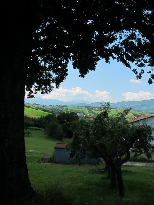
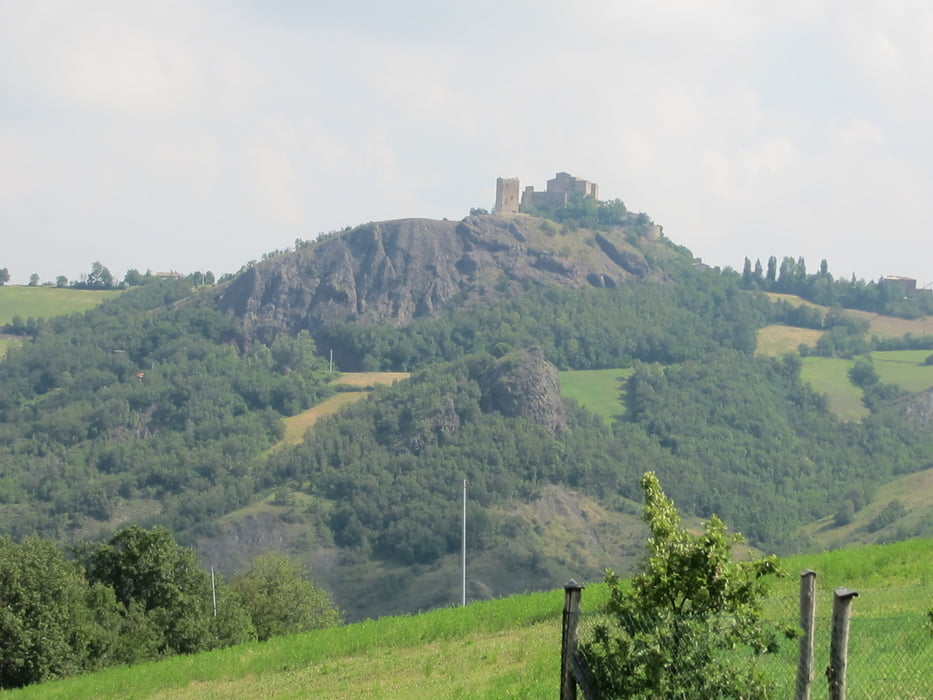
Great tour NW of Castelnovo ne' Monti. Lot of climbing, long descents. Breathtaking lanscape. Not a good choice for the first ride of the year :-)

Castelnovo ne' Monti is not the best place to stay. Lot of traffic and noise. Hotels are bad. A very good choice is to stay in a farmhouse, e.g. Campo del Pillo (http://digilander.libero.it/campodelpillo/)

Tour gallery

Tour map and elevation profile

  • Open Street Map
  • Google
Minimum height 158 m Maximum height 1138 m Detailed view

More about the tour author

gonzo01
Member since 2010

Send private message

Comments

GPS tracks

Trackpoints
  • GPX / Garmin Map Source (gpx) download
  • TCX / Garmin Training Center® (tcx) download
  • CRS / Garmin Training Center® (crs) download
  • Google Earth (kml) download
  • G7ToWin (g7t) download
  • TTQV (trk) download
  • Overlay (ovl) download
  • Fugawi (txt) download
  • Kompass (DAV) Track (tk) download
  • Track data sheet (pdf) download
  • Original file of the author (gpx) download

More about the tour author

gonzo01
Member since 2010

Send private message
Share track
Add to my favorites
Remove from my favorites
Edit tags
My score
Rate
Track: Castelnovo ne Monti - Traversetolo - Corniglio - Monchio - Vetto - Castelnovo ne Monti
Type: Road biking
Distance: 156,9 km
Evaluated on:
Duration:
Day(s)
Hour(s)
Minute(s)
Score: Landscape Fun factor Fitness Technique