Tour durch die Kohlfurt!
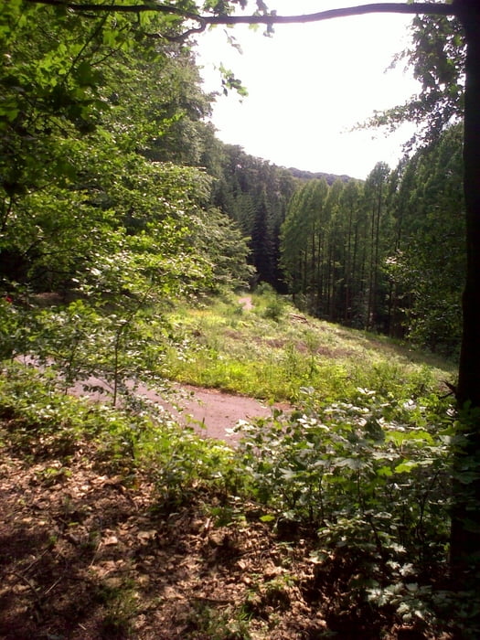
Dies ist eine schöne Runde in Solingen durch die Kohlfurth.
Die Tour geht über Wald- und Wandewege, hier und da ist ein schöner Trail mit drin.
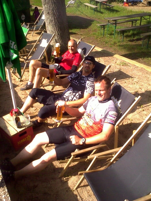
Es geht auch ordentlich auf und ab, eine kleine Pause im Strandcafe sollte auch drin sein.
Viel Spaß beim Nachfahren!
Tour gallery
Tour map and elevation profile
Minimum height 113 m
Maximum height 272 m
Comments
GPS tracks
Trackpoints-
GPX / Garmin Map Source (gpx) download
-
TCX / Garmin Training Center® (tcx) download
-
CRS / Garmin Training Center® (crs) download
-
Google Earth (kml) download
-
G7ToWin (g7t) download
-
TTQV (trk) download
-
Overlay (ovl) download
-
Fugawi (txt) download
-
Kompass (DAV) Track (tk) download
-
Track data sheet (pdf) download
-
Original file of the author (gpx) download
Add to my favorites
Remove from my favorites
Edit tags
Open track
My score
Rate


nette Tour