Login

Forgotten password?

Cookies have to be accepted!
Your browser's cookie functionality is disabled. Please enable this functionality.

Not a member yet?

Register now
Login

Available for registred users only

Log in to use this feature.

Forgotten password?

Cookies have to be accepted!
Your browser's cookie functionality is disabled. Please enable this functionality.

Not a member yet?

Register now
Filter
Categories
Advanced filters
  • Distance (km)
  • Height
Save filters Reset filter

TrackRank

QRCode

Technical data

Distance25,7 km Height381 m Way down384 m Duration01:30 h:m Date25.06.2011
Scores Author User Landscape Fun factor Fitness Technique

Statistics

1018 Views 1 Score 184 Downloads 4.00 Average
Rate
  • Track data sheet
  • Directions
  • Downloads

Über Stock und Wurzel durch den Tettnanger Wald. Die Strecke besteht aus ca. 20 % Asphalt, 65 % Wald und Schotterwege und 15 % Trails.

Für diese Tour empfehle ich ein Fully.
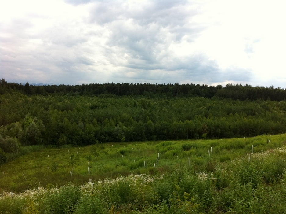
Tour gallery

Tour map and elevation profile

  • Open Street Map
  • Google
Minimum height 400 m Maximum height 544 m Detailed view

More about the tour author

guemmer
Member since 2011

Send private message

Comments

Startpunkt ist der kleine Waldplatz zwischen Tettnang-Oberhof und Neuhäusle (Koordinaten: N47 39.485 E9 36.298)

GPS tracks

Trackpoints
  • GPX / Garmin Map Source (gpx) download
  • TCX / Garmin Training Center® (tcx) download
  • CRS / Garmin Training Center® (crs) download
  • Google Earth (kml) download
  • G7ToWin (g7t) download
  • TTQV (trk) download
  • Overlay (ovl) download
  • Fugawi (txt) download
  • Kompass (DAV) Track (tk) download
  • Track data sheet (pdf) download
  • Original file of the author (gpx) download

More about the tour author

guemmer
Member since 2011

Send private message
Share track
Add to my favorites
Remove from my favorites
Edit tags
My score
Rate
Track: Tettnanger Wald
Type: Mountain bike
Distance: 25,7 km
Evaluated on:
Duration:
Day(s)
Hour(s)
Minute(s)
Score: Landscape Fun factor Fitness Technique