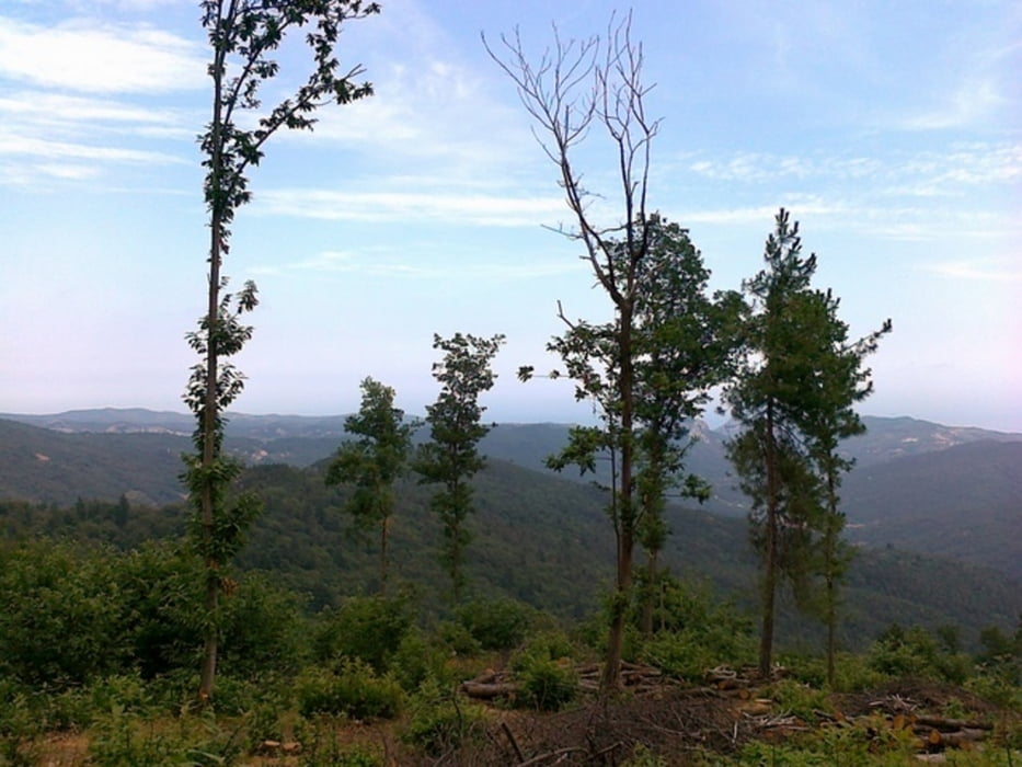
Auffahrt über Calice Ligure, Berea zur Madonna della Neve. Von dort weiter zur Ex Nato Base (in Topokarte nicht eingetragen) Dort gibt es drei Abfahrtsmöglichkeiten. Eine beginnt am Hubschrauberlandeplatz. Für meine Tour beginnt sie nach der Durchfahrt der Basis.
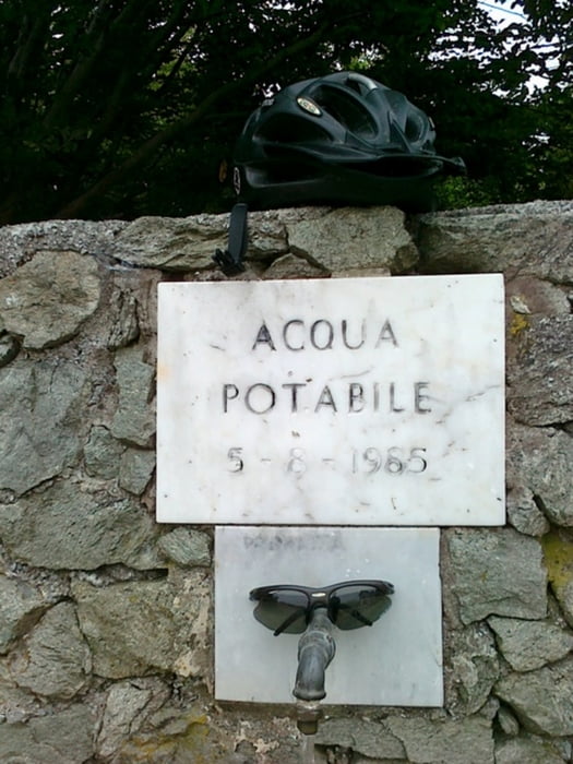
Trinkwasser fassen möglich in: Via Berea (Auffahrt nach Berea) und Madonna della Neve
Abfaht: schöner Trail mit prima Anliegern und Sprüngen.
Tempo rausnehmen (Schrittgeschwindigkeit) bei der Ortsdurchfaht in Casa di Boretti! Sonst vestimmt sich eventuell die Laune der zwei Schäferhunde am Ortseingang... sowie deren Einwohner
Von S.Rocco kann man den Weg (zwei Punkte) auch über C.di Pianmarino, s. Carlo,Val Urta, Perti nach Finalborgo wählen. Bestimmt die bessere Alternative als die Abfaht nach Campogrande und Straße nach Finalborgo.
Tour gallery
Tour map and elevation profile
Comments
GPS tracks
Trackpoints-
GPX / Garmin Map Source (gpx) download
-
TCX / Garmin Training Center® (tcx) download
-
CRS / Garmin Training Center® (crs) download
-
Google Earth (kml) download
-
G7ToWin (g7t) download
-
TTQV (trk) download
-
Overlay (ovl) download
-
Fugawi (txt) download
-
Kompass (DAV) Track (tk) download
-
Track data sheet (pdf) download
-
Original file of the author (gpx) download


Schöne Abfahrt
Der Aufstieg ist lang und anstrengend bis zur Natobase.
Die Abfahrt entschädigt aber voll.Alles in allem hatte
ich fast 50km und 1570Hm auf dem Tacho.