Login

Forgotten password?

Cookies have to be accepted!
Your browser's cookie functionality is disabled. Please enable this functionality.

Not a member yet?

Register now
Login

Available for registred users only

Log in to use this feature.

Forgotten password?

Cookies have to be accepted!
Your browser's cookie functionality is disabled. Please enable this functionality.

Not a member yet?

Register now
Filter
Categories
Advanced filters
  • Distance (km)
  • Height
Save filters Reset filter

TrackRank

QRCode

Technical data

Distance16,5 km Height845 m Way down795 m Duration00:00 h:m Date02.07.2011
Scores Author User Landscape Fun factor Fitness Technique

Statistics

646 Views 2 Scores 170 Downloads 5.00 Average
Rate
  • Track data sheet
  • Directions
  • Downloads

Rundtour: Aufstieg von Valldemossa auf den Teix über den "Aussichtsbalkon" der Tramuntana

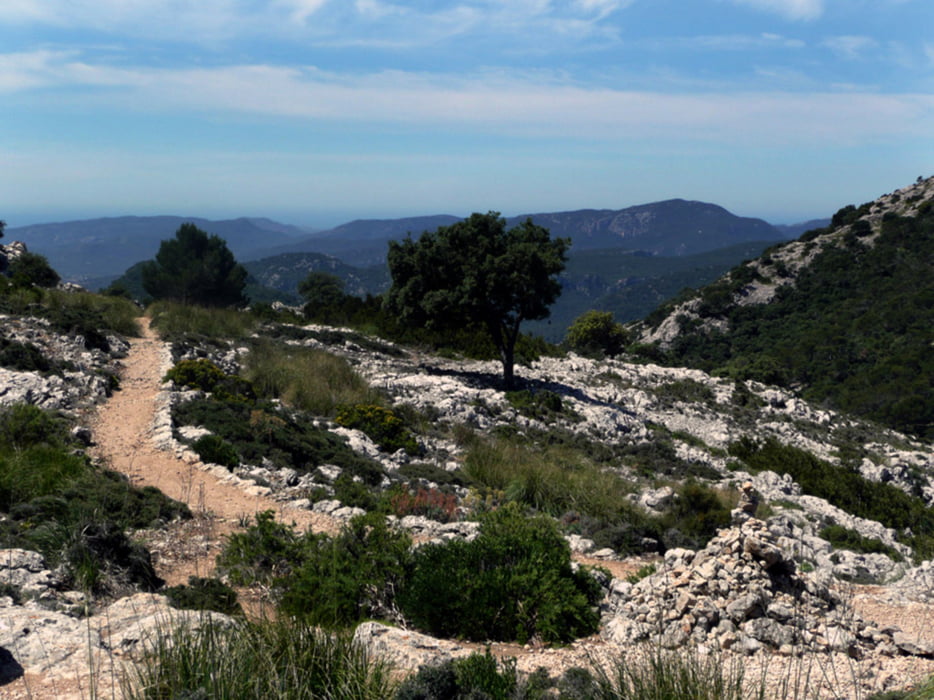
lange, technisch unkomplizierte Tour

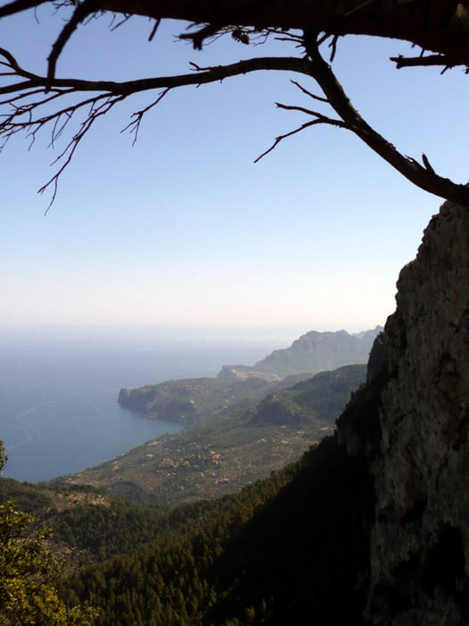
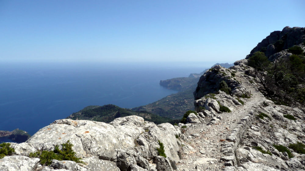
besonders schön ist der Abschnitt entlang des Grates oberhalb der Straße nach Deia

Gipfelaufstieg kurz und unkompliziert

Ausschilderungen sehr sparsam, deshalb Karten/GPS mitnehmen

Abstieg tw. steil

Tour ist im Rother Wanderführer "Mallorca" detailliert beschrieben

Tour gallery

Tour map and elevation profile

  • Open Street Map
  • Google
Minimum height 363 m Maximum height 1056 m Detailed view

More about the tour author

Andi_Kuehne
Member since 2011

Send private message

Comments

JoachimDief on 14.04.2017

Teix ist Gesperrt

Der Zugang zum Teix ist jetzt gesperrt (privat). Ansonsten immer noch eine schöne Tour. Seit 2014 ist jetzt auch noch für den erste Teil eine Bewilligung notwendig. Pro Tag werden nur 50 Bewilligungen erteilt. Wenn man frühzeitig anruft +34 619 591 985 bekommt man diese problemlos.

GPS tracks

Trackpoints
  • GPX / Garmin Map Source (gpx) download
  • TCX / Garmin Training Center® (tcx) download
  • CRS / Garmin Training Center® (crs) download
  • Google Earth (kml) download
  • G7ToWin (g7t) download
  • TTQV (trk) download
  • Overlay (ovl) download
  • Fugawi (txt) download
  • Kompass (DAV) Track (tk) download
  • Track data sheet (pdf) download
  • Original file of the author (gpx) download

More about the tour author

Andi_Kuehne
Member since 2011

Send private message
Share track
Add to my favorites
Remove from my favorites
Edit tags
My score
Rate
Track: Teix (von Valldemossa)
Type: Hiking
Distance: 16,5 km
Evaluated on:
Duration:
Day(s)
Hour(s)
Minute(s)
Score: Landscape Fun factor Fitness Technique