Login

Forgotten password?

Cookies have to be accepted!
Your browser's cookie functionality is disabled. Please enable this functionality.

Not a member yet?

Register now
Login

Available for registred users only

Log in to use this feature.

Forgotten password?

Cookies have to be accepted!
Your browser's cookie functionality is disabled. Please enable this functionality.

Not a member yet?

Register now
Filter
Categories
Advanced filters
  • Distance (km)
  • Height
Save filters Reset filter

TrackRank

QRCode

Technical data

Distance63,3 km Height216 m Way down218 m Duration02:30 h:m Date07.06.2007
Scores Author Landscape Fun factor Fitness Technique

Statistics

482 Views Scores 82 Downloads Average
Rate
  • Track data sheet
  • Directions
  • Downloads
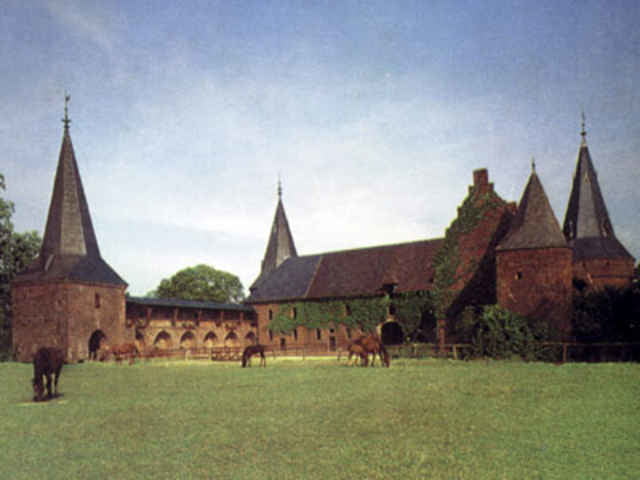
Grefrath Richtung Kempen nach Hüls von dort aus nach Tönisberg bis nach Geldern einmal quer durch die City nach Straelen, Vinkrath zurück zum Ausgangspunkt Grefrath Pappelstrasse

Tour gallery

Tour map and elevation profile

  • Open Street Map
  • Google
Minimum height 17 m Maximum height 54 m Detailed view

More about the tour author

tfi2511
Member since 2007

Send private message

Comments

47929 Grefrath Pappelstrasse
Stadionstrasse von Ortsmitte Richtung Eissport Center

GPS tracks

Trackpoints
  • GPX / Garmin Map Source (gpx) download
  • TCX / Garmin Training Center® (tcx) download
  • CRS / Garmin Training Center® (crs) download
  • Google Earth (kml) download
  • G7ToWin (g7t) download
  • TTQV (trk) download
  • Overlay (ovl) download
  • Fugawi (txt) download
  • Kompass (DAV) Track (tk) download
  • Track data sheet (pdf) download

More about the tour author

tfi2511
Member since 2007

Send private message
Share track
Add to my favorites
Remove from my favorites
Edit tags
My score
Rate
Track: Grefrath Hüls Geldern Straelen
Type: Road biking
Distance: 63,3 km
Evaluated on:
Duration:
Day(s)
Hour(s)
Minute(s)
Score: Landscape Fun factor Fitness Technique