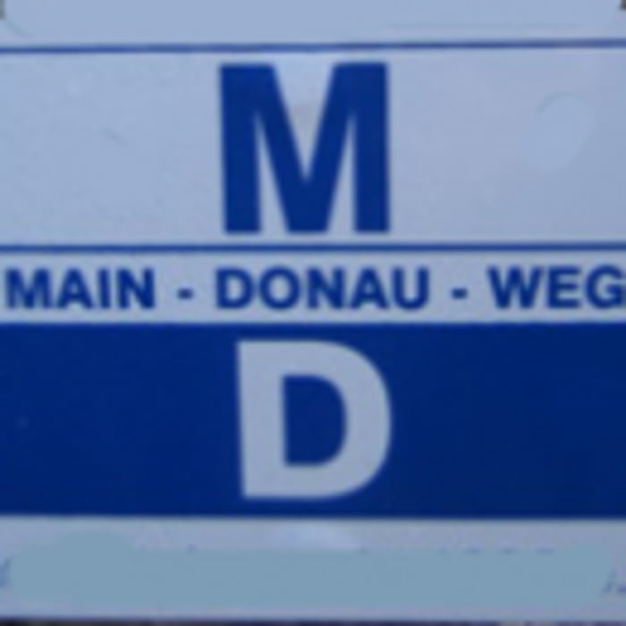
Unsere Partnertour 2011 führte uns von Bad Mergentheim nach Külsheim.
Die Anreise erfolgte von Bronnbach nach Bad Mergentheim mit der Bahn.
Die Stecke ist auch für welche die wenig MTB fahren sehr gut zu bewältigen.
Tour map and elevation profile
Minimum height 178 m
Maximum height 409 m
Comments

GPS tracks
Trackpoints-
GPX / Garmin Map Source (gpx) download
-
TCX / Garmin Training Center® (tcx) download
-
CRS / Garmin Training Center® (crs) download
-
Google Earth (kml) download
-
G7ToWin (g7t) download
-
TTQV (trk) download
-
Overlay (ovl) download
-
Fugawi (txt) download
-
Kompass (DAV) Track (tk) download
-
Track data sheet (pdf) download
-
Original file of the author (gpx) download
Add to my favorites
Remove from my favorites
Edit tags
Open track
My score
Rate

