


Ausgangspunkt ist das Haus des Gastes in Willingen.
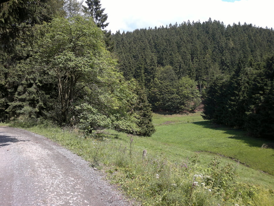
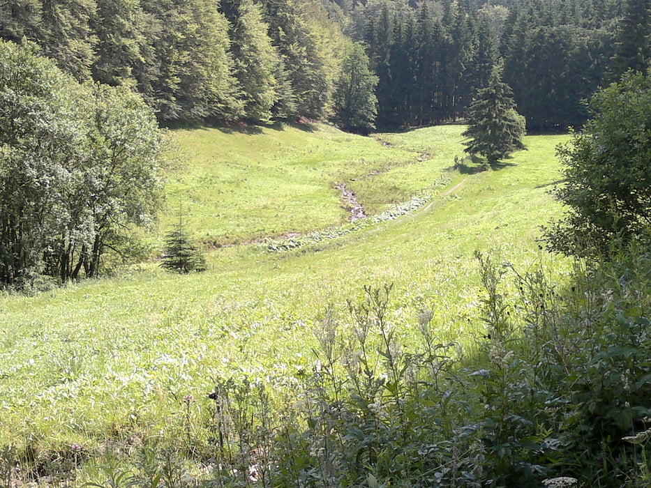
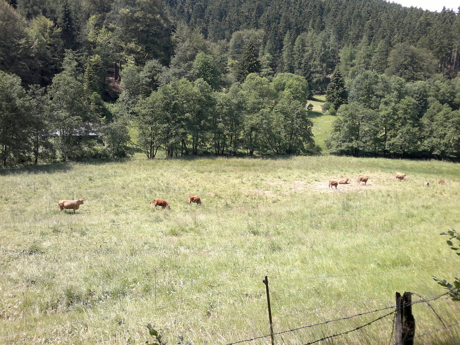
Die Wanderung führt über den Kalbesnacken in den Ortsteil Stryck.Auf der linken Seite des Strycktals,vorbei an der Mühlenkopfschanze geht es lang durch das Strycktal leicht aufwärts, bevor die Steigung entlang des Naturschutzgebietes Alter Hagen zunimmt,aber dennoch gut zu laufen ist. Auf der Höhe trifft man dann wieder auf den Uplandsteig und Rothaarsteig.Von der Hildfelder Höhe führt der Weg weiter zur Hoppern- Quelle.Ab hier geht man am Rande des Naturschutzgebietes Große Heide ca.2km auf dem Uplandsteig.(Auf diesem Stück befindet sich die Hochheidehütte,eine schöne Einkehrmöglichkeit).Dann biegt der Wanderweg rechts ab und führt durch den Keller und das Hoppecketal zurück nach Willingen. Grundlage waren die Wanderwege W6 und W4.
Further information at
http://www.heidehuette.de/Tour gallery
Tour map and elevation profile
Minimum height 619 m
Maximum height 869 m
More about the tour author
|
|
martinhoerne |
Comments

GPS tracks
Trackpoints-
GPX / Garmin Map Source (gpx) download
-
TCX / Garmin Training Center® (tcx) download
-
CRS / Garmin Training Center® (crs) download
-
Google Earth (kml) download
-
G7ToWin (g7t) download
-
TTQV (trk) download
-
Overlay (ovl) download
-
Fugawi (txt) download
-
Kompass (DAV) Track (tk) download
-
Track data sheet (pdf) download
-
Original file of the author (gpx) download
More about the tour author
|
|
martinhoerne |
Add to my favorites
Remove from my favorites
Edit tags
Open track
My score
Rate