


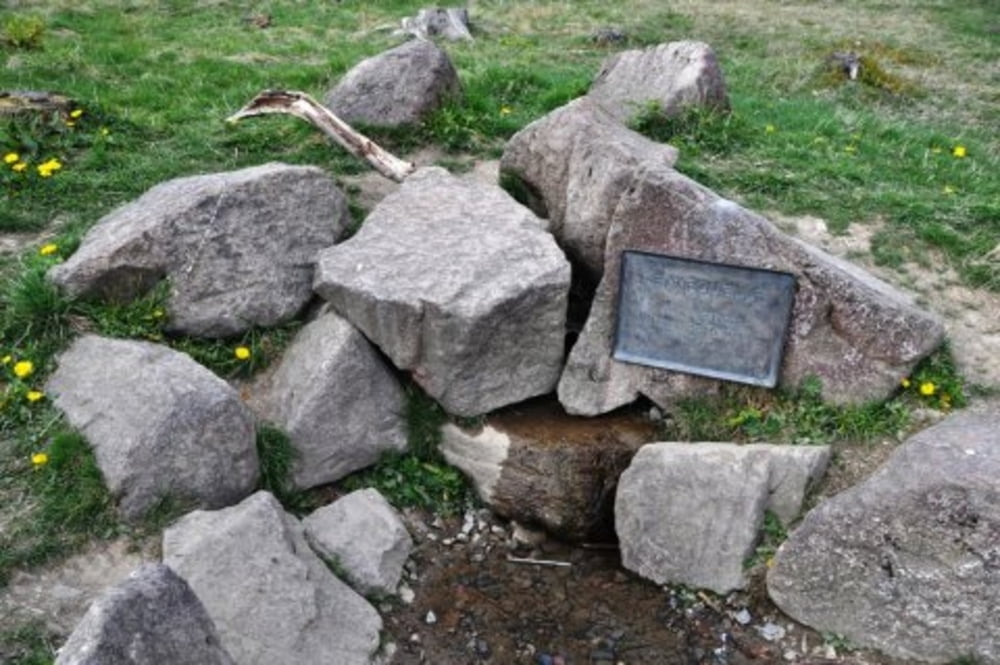
Die Tour folgt dem Ruhrtalradweg ab dem Baldeneysee in Essen gegen den Strom bis hinauf zur Quelle. Über Winterberg und Kahler Asten ab der Lennequelle anschließend über die Lenneroute nach Altona zurück.
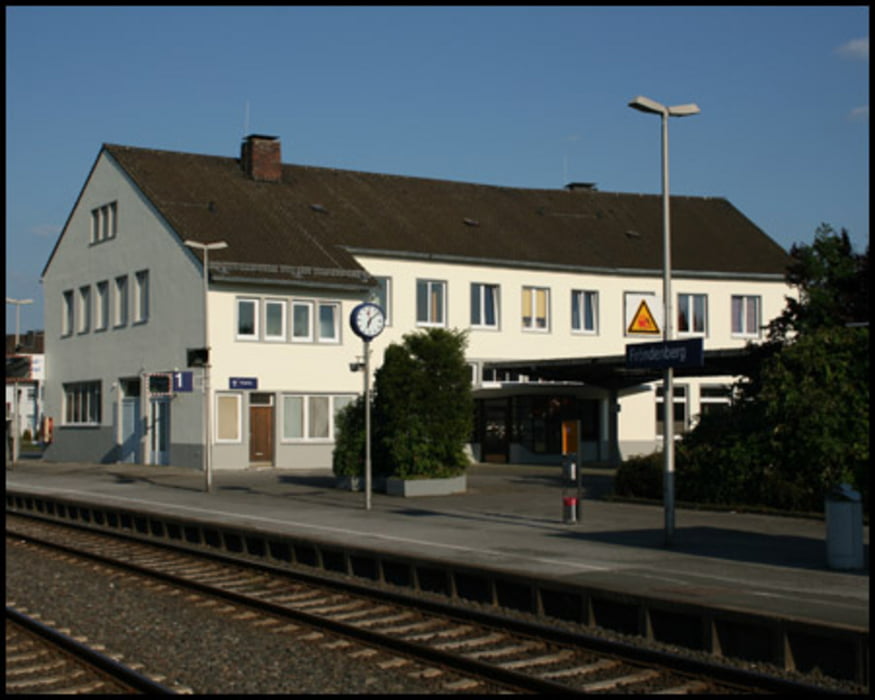
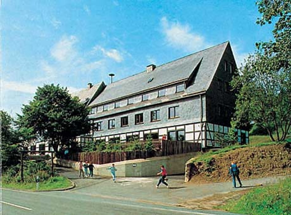
Als preiswerte Übernachtungsorte dienten das Radhotel Fröndenberg sowie die DJH Winterberg.
Further information at
/en/tracks/detail.83845.htmlTour gallery

Tour map and elevation profile
Minimum height 24 m
Maximum height 836 m
More about the tour author
|
|
manbie |
Comments

Der Startpunkt der Tour wurde erreicht mit der S-Bahn S6 ab Haltepunkt "Essen-Werden", vom Ziel ab Bahnhof "Altena" mit dem Zug zurück nach Hause.
GPS tracks
Trackpoints-
GPX / Garmin Map Source (gpx) download
-
TCX / Garmin Training Center® (tcx) download
-
CRS / Garmin Training Center® (crs) download
-
Google Earth (kml) download
-
G7ToWin (g7t) download
-
TTQV (trk) download
-
Overlay (ovl) download
-
Fugawi (txt) download
-
Kompass (DAV) Track (tk) download
-
Track data sheet (pdf) download
-
Original file of the author (gpx) download
More about the tour author
|
|
manbie |
Add to my favorites
Remove from my favorites
Edit tags
Open track
My score
Rate