Login

Forgotten password?

Cookies have to be accepted!
Your browser's cookie functionality is disabled. Please enable this functionality.

Not a member yet?

Register now
Login

Available for registred users only

Log in to use this feature.

Forgotten password?

Cookies have to be accepted!
Your browser's cookie functionality is disabled. Please enable this functionality.

Not a member yet?

Register now
Filter
Categories
Advanced filters
  • Distance (km)
  • Height
Save filters Reset filter

TrackRank

QRCode

Technical data

Distance32,0 km Height522 m Way down520 m Duration02:10 h:m Date06.07.2011
Scores Author User Landscape Fun factor Fitness Technique

Statistics

1177 Views 1 Score 227 Downloads 4.00 Average
Rate
  • Track data sheet
  • Directions
  • Downloads
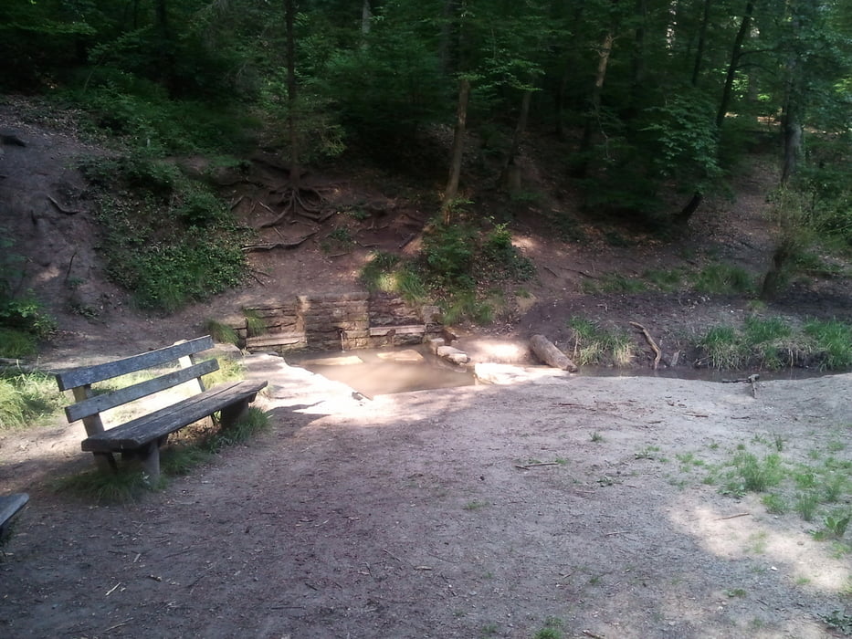
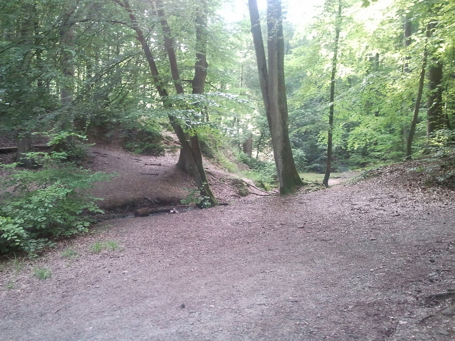
Die Route hat für jeden was dabei. Es geht schön über die Felder und auch über schöne enge und viel rel.  flache Trails. Leider sind auch hier wieder einige Bäume quergelegt worden, über die man vielleicht mit einem gewissen fahrerischen Können hinweg springen kann. Mir gelingt dies leider noch nicht...

Tour gallery

Tour map and elevation profile

  • Open Street Map
  • Google
Minimum height 247 m Maximum height 479 m Detailed view

More about the tour author

suntravel
Member since 2010

Send private message

Comments

Startpunkt ist Ostfildern-Nellingen. Die Tour sollte im Uhrzeigersinn gefahren werden ;-)

GPS tracks

Trackpoints
  • GPX / Garmin Map Source (gpx) download
  • TCX / Garmin Training Center® (tcx) download
  • CRS / Garmin Training Center® (crs) download
  • Google Earth (kml) download
  • G7ToWin (g7t) download
  • TTQV (trk) download
  • Overlay (ovl) download
  • Fugawi (txt) download
  • Kompass (DAV) Track (tk) download
  • Track data sheet (pdf) download
  • Original file of the author (gpx) download

More about the tour author

suntravel
Member since 2010

Send private message
Share track
Add to my favorites
Remove from my favorites
Edit tags
My score
Rate
Track: Ostfildern-Fernsehturm_inkl.Trails
Type: Mountain bike
Distance: 32,0 km
Evaluated on:
Duration:
Day(s)
Hour(s)
Minute(s)
Score: Landscape Fun factor Fitness Technique