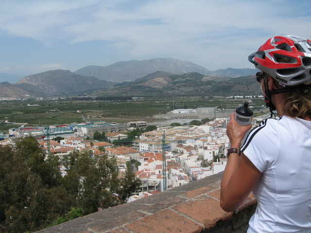
Die Tour führt vom Robinson Club aus in Richtung Lobres. Über alte Bewässerungskanäle und verfallene Asphaltstraßen gelangt man auf den Camino Canal. Auf diesem Höhenweg erwarten und traumhafte Aussichten auf die Ebene rund um Saloprena. Bei der anschließenden Abfahrt durchquert man Caleta und fährt über die weiße Stadt zurück zum Robinson Club.
Tour gallery
Tour map and elevation profile
Minimum height -21 m
Maximum height 115 m
Comments

GPS tracks
Trackpoints-
GPX / Garmin Map Source (gpx) download
-
TCX / Garmin Training Center® (tcx) download
-
CRS / Garmin Training Center® (crs) download
-
Google Earth (kml) download
-
G7ToWin (g7t) download
-
TTQV (trk) download
-
Overlay (ovl) download
-
Fugawi (txt) download
-
Kompass (DAV) Track (tk) download
-
Track data sheet (pdf) download
-
Original file of the author (gpx) download
Add to my favorites
Remove from my favorites
Edit tags
Open track
My score
Rate


