

Allgemeines zu Mallorca
Mallorca ist ein Eldorado für Biker. Aber Du erfährst nicht viel von den Schwierigkeitsgraden, aber viel Bikerlatein. Meines Erachtens um Vieles einfacher als Gran Canaria.
Zur Tour
Ich bin kein Superbiker, also habe ich die Tour "riskiert" und mit meinem Garmin Oregon 450 getracked. Ich glaube die 1700 hm nicht ganz. Kommt mir etwas viel vor. Die Steigungen liegen jedenfalls zw. 6 und 8 Prozent. In der Mitte gibt es das Herrschaftsgut La Granja, das jedenfalls einen Besuch wert ist, falls eine Pause von Nöten ist. Achtung, in den Sommermonaten zeitig (7 - 7:30 Uhr) starten, dann sind 50% der Höhenmeter schon 1,5 bis 2 Stunden später erledigt. In Paguera gibt es bei Bedarf einen Bikeverleih Max Hürzeler. Der hat allerdings im Sommer 2011 nur zwischen 9:00 und 11:00 Uhr geöffnet. Man kann sich da aber arangieren.
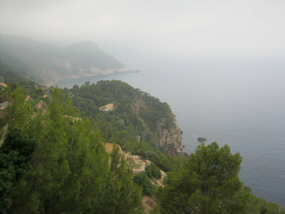
Landschaftlich reizvoll. Die Abfahrten an der Küstenstraße ein Renner. Aber ACHTUNG auf die Autos. Man sollte unbedingt mitdenken.
Tour map and elevation profile
Minimum height 14 m
Maximum height 458 m
More about the tour author

|
roadrunner111k |
Comments

Flug nach Palma de Mallorca, über die Autobahn Richtung Antratx, Abfahrt Paguera
GPS tracks
Trackpoints-
GPX / Garmin Map Source (gpx) download
-
TCX / Garmin Training Center® (tcx) download
-
CRS / Garmin Training Center® (crs) download
-
Google Earth (kml) download
-
G7ToWin (g7t) download
-
TTQV (trk) download
-
Overlay (ovl) download
-
Fugawi (txt) download
-
Kompass (DAV) Track (tk) download
-
Track data sheet (pdf) download
-
Original file of the author (gpx) download
More about the tour author
|
|
roadrunner111k |
Add to my favorites
Remove from my favorites
Edit tags
Open track
My score
Rate