

Von St. Anton am Arlberg nach Poschiavo im Unterengadin. Im Wesentlichen auf der Albrecht-Route (ST. Anton bis Val Mora), dann Abzweig zum Lago di Cancano. Von dort ins Val Viola und über den Pass nach Poschiavo.
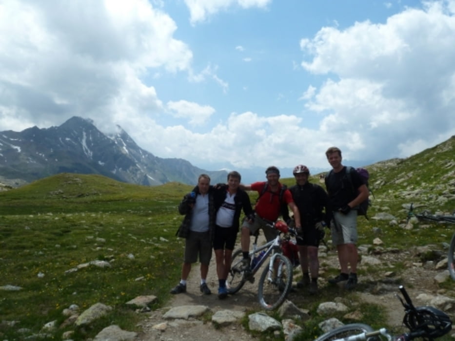
Wunderschöne Tour mit 5 ausgeglichenen Etappen. Machbare Schiebe und Tragepassagen.
Anfahrt mit dem Zug nach St. Anton am Arlberg
1. Etappe: bis Heilbronner Hütte
2. Etappe: bis Heidelberger Hütte
3. Etappe: bis S-charl (Unterkunft Crusch Alba)
4. Etappe: bis Lago di Cancano (Unterkunft Rifugio Val Fraele)
5. Etappe: bis Bahnhof Poschiavo und über den Bernina heimwärts
Further information at
http://www.transalp.info/albrecht-route/index.phpTour map and elevation profile
Minimum height 1060 m
Maximum height 2623 m
More about the tour author

|
Nasenfahrrad |
Comments

GPS tracks
Trackpoints-
GPX / Garmin Map Source (gpx) download
-
TCX / Garmin Training Center® (tcx) download
-
CRS / Garmin Training Center® (crs) download
-
Google Earth (kml) download
-
G7ToWin (g7t) download
-
TTQV (trk) download
-
Overlay (ovl) download
-
Fugawi (txt) download
-
Kompass (DAV) Track (tk) download
-
Track data sheet (pdf) download
-
Original file of the author (gpx) download
More about the tour author
|
|
Nasenfahrrad |
Add to my favorites
Remove from my favorites
Edit tags
Open track
My score
Rate