


Der Geo-Erlebnispfad informiert über geologische Umstände des Taunus.
Auf engem Pfad vorbei am Hohlen Stein verläuft der größste Teil des Weges auf Forstwegen.
Achtung: der Beginn des Weges geht nicht direkt in den Wald, sondern man muss ausgehend von der Übersichtskarte erst nach links. Pfosten mit blauen Spitzen informieren über den Verlauf des Weges. Die Wegpunkte sind Informationstafeln.
Die Informationstafeln sind teilweise etwas wissenschaftlich geraten.
Tour gallery
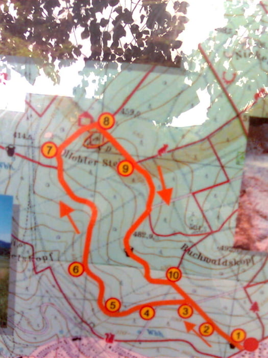
Tour map and elevation profile
Minimum height 392 m
Maximum height 491 m
More about the tour author
|
|
JST1721 |
Comments

Mit dem Auto nach Oberjosbach ( Niedernhausen) in die Dr. Jakob Wittemann Straße. Am Ende befindet sich die Übersichskarte.
GPS tracks
Trackpoints-
GPX / Garmin Map Source (gpx) download
-
TCX / Garmin Training Center® (tcx) download
-
CRS / Garmin Training Center® (crs) download
-
Google Earth (kml) download
-
G7ToWin (g7t) download
-
TTQV (trk) download
-
Overlay (ovl) download
-
Fugawi (txt) download
-
Kompass (DAV) Track (tk) download
-
Track data sheet (pdf) download
-
Original file of the author (gpx) download
More about the tour author
|
|
JST1721 |
Add to my favorites
Remove from my favorites
Edit tags
Open track
My score
Rate