


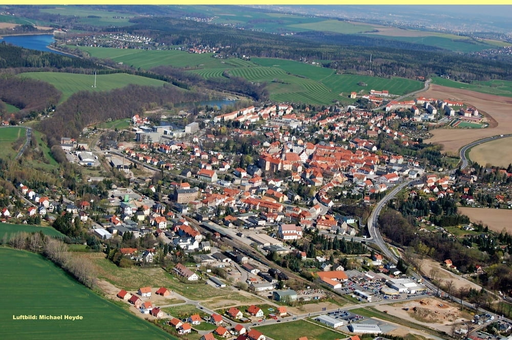
Startpunkt ist der Theaterplatz in Dresden.Richtung Süd-West geht es über Tharandt und Wilsdruff durch das Landschaftsschutzgebiet Tharandter Wald. Über verschiedene Steigungen führt der Weg nun südöstlich über den höchsten Punkt weiter nach Glashütte. Zur Belohnung geht es die restlichen 40 km überwiegend bergab Richtung Norden durch Müglitztal und über Heidenau zurück nach Dresden.
Further information at
http://www.sz-online.de/special/fahrradfest/base.asp?secure=false&content=willkommenTour gallery


Tour map and elevation profile
Minimum height 105 m
Maximum height 491 m
More about the tour author

|
sascha44 |
Comments

Das Fahrradfest, begann in Dresden vor Historischer Kulisse auf dem Theaterplatz, und endete dort auch. Idealerweise kann man über den Elberradweg einsteigen. Oder per S-Bahn der Hbf-Dresden ist nicht weit.
GPS tracks
Trackpoints-
GPX / Garmin Map Source (gpx) download
-
TCX / Garmin Training Center® (tcx) download
-
CRS / Garmin Training Center® (crs) download
-
Google Earth (kml) download
-
G7ToWin (g7t) download
-
TTQV (trk) download
-
Overlay (ovl) download
-
Fugawi (txt) download
-
Kompass (DAV) Track (tk) download
-
Track data sheet (pdf) download
-
Original file of the author (gpx) download
More about the tour author
|
|
sascha44 |
Add to my favorites
Remove from my favorites
Edit tags
Open track
My score
Rate