Login

Forgotten password?

Cookies have to be accepted!
Your browser's cookie functionality is disabled. Please enable this functionality.

Not a member yet?

Register now
Login

Available for registred users only

Log in to use this feature.

Forgotten password?

Cookies have to be accepted!
Your browser's cookie functionality is disabled. Please enable this functionality.

Not a member yet?

Register now
Filter
Categories
Advanced filters
  • Distance (km)
  • Height
Save filters Reset filter

TrackRank

QRCode

Technical data

Distance28,7 km Height316 m Way down320 m Duration02:20 h:m Date22.07.2011
Scores Author Landscape Fun factor Fitness Technique

Statistics

722 Views 1 Score 66 Downloads 2.00 Average
Rate
  • Track data sheet
  • Directions
  • Downloads

Feierabendrunde mit schönen Singeltrails

1.) Am Neckar bis Badesee Hirschau

2.) Vom Spitzbergsattel ins Ammertal

3.) Schönbuch über Unterjessingen

..und Aussichtspunkten
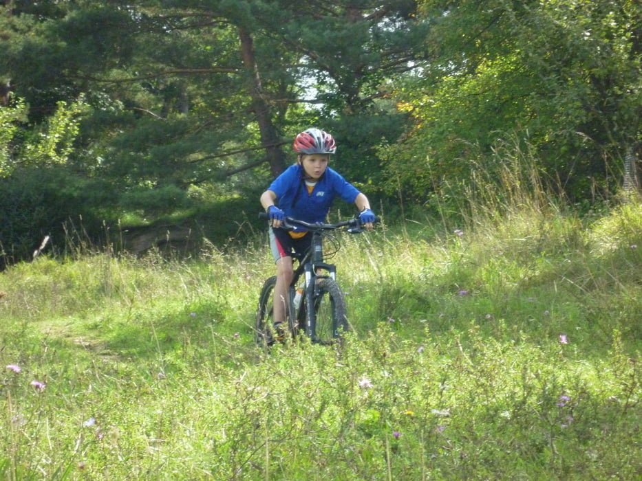
Tour gallery

Tour map and elevation profile

  • Open Street Map
  • Google
Minimum height 310 m Maximum height 471 m Detailed view

More about the tour author

Alexandro
Member since 2010

Send private message

Comments

oliander12 on 30.07.2016

Tour

Enttäuschende Tour - habe mir mehr Trails versprochen.

Start:

Parkplatz Gewerbliche Schulen Tübingen

GPS tracks

Trackpoints
  • GPX / Garmin Map Source (gpx) download
  • TCX / Garmin Training Center® (tcx) download
  • CRS / Garmin Training Center® (crs) download
  • Google Earth (kml) download
  • G7ToWin (g7t) download
  • TTQV (trk) download
  • Overlay (ovl) download
  • Fugawi (txt) download
  • Kompass (DAV) Track (tk) download
  • Track data sheet (pdf) download
  • Original file of the author (gpx) download

More about the tour author

Alexandro
Member since 2010

Send private message
Share track
Add to my favorites
Remove from my favorites
Edit tags
My score
Rate
Track: Ammertalrunde
Type: Mountain bike
Distance: 28,7 km
Evaluated on:
Duration:
Day(s)
Hour(s)
Minute(s)
Score: Landscape Fun factor Fitness Technique