Login

Forgotten password?

Cookies have to be accepted!
Your browser's cookie functionality is disabled. Please enable this functionality.

Not a member yet?

Register now
Login

Available for registred users only

Log in to use this feature.

Forgotten password?

Cookies have to be accepted!
Your browser's cookie functionality is disabled. Please enable this functionality.

Not a member yet?

Register now
Filter
Categories
Advanced filters
  • Distance (km)
  • Height
Save filters Reset filter

TrackRank

QRCode

Technical data

Distance30,6 km Height492 m Way down546 m Duration03:00 h:m Date23.07.2011
Scores Author Landscape Fun factor Fitness Technique

Statistics

781 Views Scores 85 Downloads Average
Rate
  • Track data sheet
  • Directions
  • Downloads
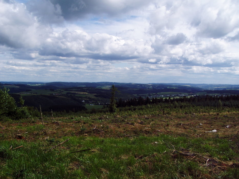
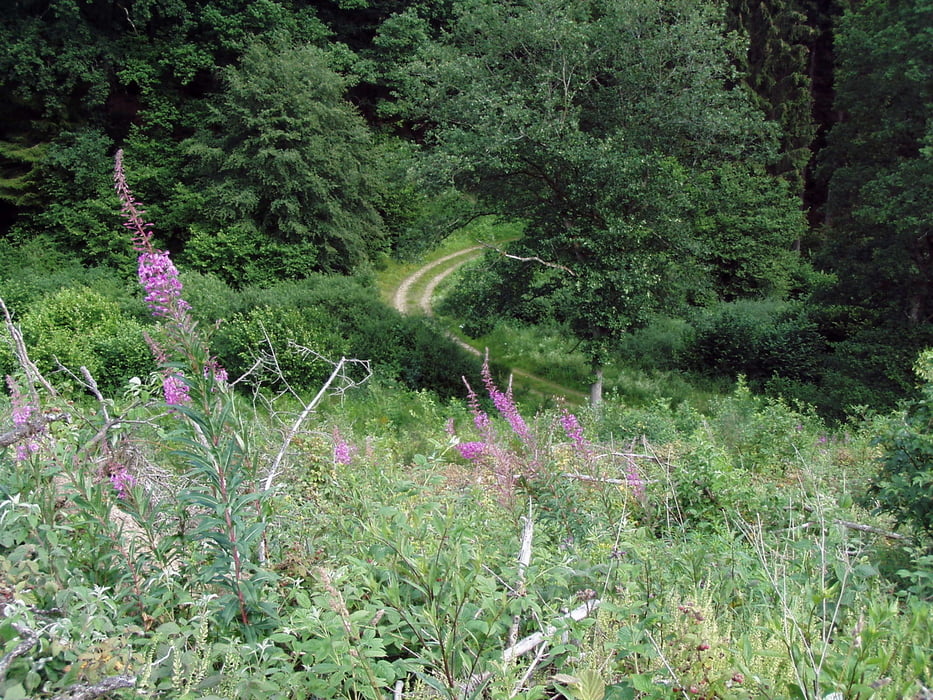
Cute track with quite some tarmac around Prümtall. Smooth descents, steep climbes, Kölsch in Prüm. All what you need.

Tour gallery

Tour map and elevation profile

  • Open Street Map
  • Google
Minimum height 437 m Maximum height 707 m Detailed view

More about the tour author

JiriK
Member since 2011

Send private message

Comments

Start from Prüm or Olzheim in Schnee Eifel.

GPS tracks

Trackpoints
  • GPX / Garmin Map Source (gpx) download
  • TCX / Garmin Training Center® (tcx) download
  • CRS / Garmin Training Center® (crs) download
  • Google Earth (kml) download
  • G7ToWin (g7t) download
  • TTQV (trk) download
  • Overlay (ovl) download
  • Fugawi (txt) download
  • Kompass (DAV) Track (tk) download
  • Track data sheet (pdf) download
  • Original file of the author (gpx) download

More about the tour author

JiriK
Member since 2011

Send private message
Share track
Add to my favorites
Remove from my favorites
Edit tags
My score
Rate
Track: Schnee Eifel - Schwarzer Mann and Prüm
Type: Mountain bike
Distance: 30,6 km
Evaluated on:
Duration:
Day(s)
Hour(s)
Minute(s)
Score: Landscape Fun factor Fitness Technique