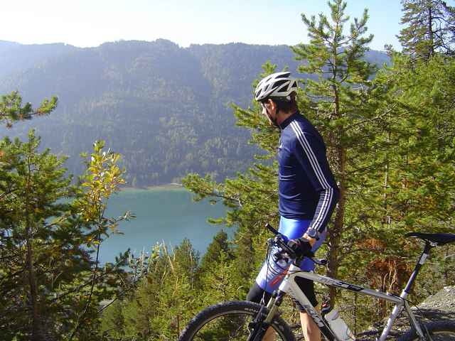
Start ist in Techendorf vor dem Landhotel Die Forelle. Vorbei an der Bergbahn Talstation geht es hinauf bis auf die Naggler Alm - von dort weiter bis zur Jadersdorfer Alm. Über eine sehr steilen Forstweg fährt man dann ab bis nach St. Lorenzen im Gitschtal. Zurück geht es dann über den Gitschtalradweg bis nach Weißbriach. Von dort an bergauf auf der neuen bzw. alten Kreuzbergstraße - und zurück zum See.
Further information at
http://www.forellemueller.atTour gallery
Tour map and elevation profile
Minimum height 737 m
Maximum height 1561 m
Comments
Über Spittal - Greifenburg - Weißensee Westufer - Landhotel Die Forelle - gleich neben der evang. Kirche in Techendorf.
GPS tracks
Trackpoints-
GPX / Garmin Map Source (gpx) download
-
TCX / Garmin Training Center® (tcx) download
-
CRS / Garmin Training Center® (crs) download
-
Google Earth (kml) download
-
G7ToWin (g7t) download
-
TTQV (trk) download
-
Overlay (ovl) download
-
Fugawi (txt) download
-
Kompass (DAV) Track (tk) download
-
Track data sheet (pdf) download
-
Original file of the author (g7t) download
Add to my favorites
Remove from my favorites
Edit tags
Open track
My score
Rate


Technikbewertung