


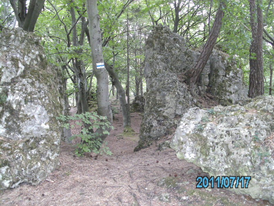
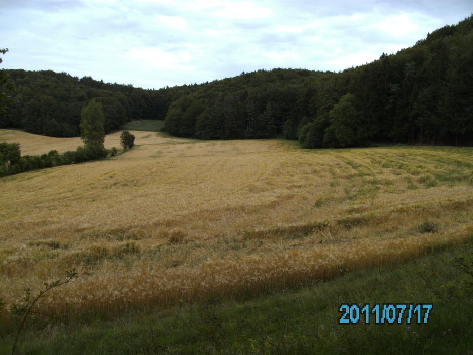
Die Wanderung ist für Familien gedacht, die kleine Kinder haben. Es handelt sich dabei um den Naturlehrpfad in Hohenstein und als Hauptattraktion kann auch noch die Petershöhle besucht werden. Durch die Schautafeln wird der Weg kurzweilig - zudem laden manche Felsen zum Klettern ein.
Der Großteil der Strecke kann mit einem Kinderwagen durchgeführt werden - allerdings ist der letzte Teil ungeeignet, wobei eine ausgeschilderte Abkürzung zurück in dern Ort vorhanden ist.
Ausgangspunkt ist der Parkplatz in der Dorfmitte. Nach der Wanderung kann man fränkisch gut in den Gasthäusern oder auf der Burg (schöner Biergarten mit tollem Ausblick) einkehren.
Tour gallery
Tour map and elevation profile
Minimum height 463 m
Maximum height 550 m
More about the tour author

|
Gendrisch |
Comments

Autobahn A9 - Ausfahrt Hormersdorf
Danach Richtung Velden und direkt nach Hohenstein.
Der Parkplatz für Wanderer liegt in der Dorfmitte.
GPS tracks
Trackpoints-
GPX / Garmin Map Source (gpx) download
-
TCX / Garmin Training Center® (tcx) download
-
CRS / Garmin Training Center® (crs) download
-
Google Earth (kml) download
-
G7ToWin (g7t) download
-
TTQV (trk) download
-
Overlay (ovl) download
-
Fugawi (txt) download
-
Kompass (DAV) Track (tk) download
-
Track data sheet (pdf) download
-
Original file of the author (gpx) download
More about the tour author
|
|
Gendrisch |
Add to my favorites
Remove from my favorites
Edit tags
Open track
My score
Rate