


Rundweg zwischen Bad Laasphe und Erndtebrück.
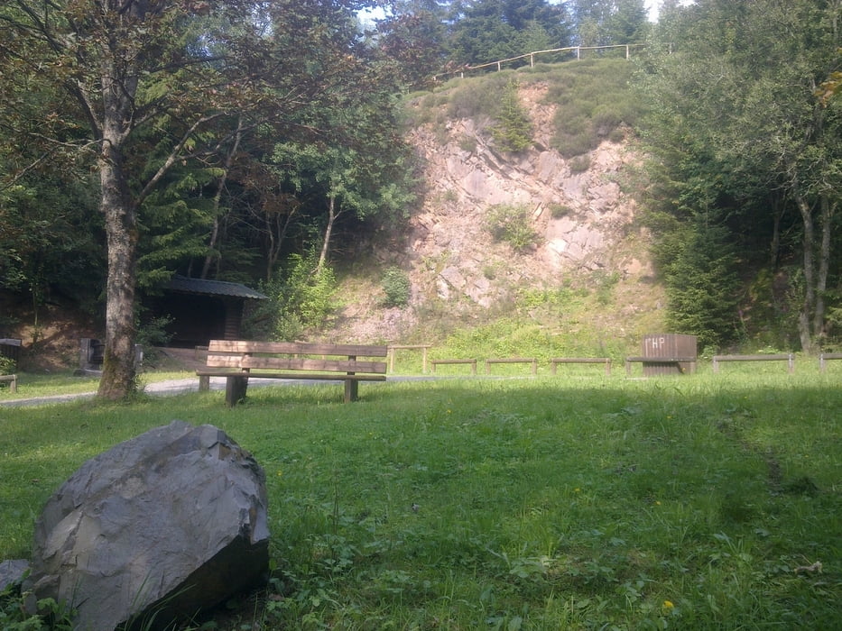
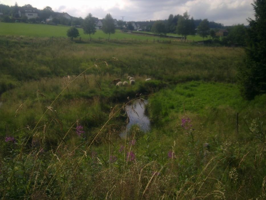
Von der Skihütte Rücksershausen, Richtung osten Unterhalb des Ebschlohs (höchser Berg der Umgebung), am Rande von Oberndorf Richtung Dill (schöne Aussichten) durch offene Wiesenflächen, weiter oberhalb von Amtshausen am Dillparkplatz Richtung Erndtebrück, an der Benfe entlang (naturbelassenes Wiesental) bis Benfe. Über einen Waldpfad und Waldweg über die Höhe bis zum Rothaarsteig, abwärts Richtung Volkholz und über den Augstenhof Richtung Rückershausen zurück zum Parkplatz
Tour gallery
Tour map and elevation profile
Minimum height 426 m
Maximum height 705 m
More about the tour author

|
eniliph |
Comments

Wittgensteiner Bergland
Siegen Richtung Erndtebrück, verschiedene Startmöglichkeiten: Wanderparkplatz Benfe, Dillparkplatz, Skihütte Rückershausen (beste Möglicheit)
GPS tracks
Trackpoints-
GPX / Garmin Map Source (gpx) download
-
TCX / Garmin Training Center® (tcx) download
-
CRS / Garmin Training Center® (crs) download
-
Google Earth (kml) download
-
G7ToWin (g7t) download
-
TTQV (trk) download
-
Overlay (ovl) download
-
Fugawi (txt) download
-
Kompass (DAV) Track (tk) download
-
Track data sheet (pdf) download
-
Original file of the author (gpx) download
More about the tour author
|
|
eniliph |
Add to my favorites
Remove from my favorites
Edit tags
Open track
My score
Rate